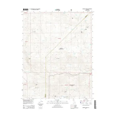
2015 Map of Mariposa Grove
USGS Topo · Published 2015About this map
Mariposa Grove serves as the focal point for this 2015 high-country survey, where the boundary of Yosemite National Park meets the Sierra National Forest. The landscape is dominated by the steep drainage of the S Fork Merced River and the towering heights of the Sierra Nevada range. Prominent landmarks such as Wawona Point and Wawona Dome overlook a series of alpine meadows and water systems, including Turner Meadow and the cascading Chilnualna Fall. High-elevation lakes like Ostrander Lake and Buena Vista Lake are scattered across the granite terrain, linked by creeks such as Chilnualna Cr and Buena Vista Cr. The map details the transition from the protected valley groves to the high peaks of Buena Vista Crest and Mt Raymond, illustrating the complex topography of the Mariposa and Madera County line.
Find a feature on this map
41 named features on this map. Tap any name to fly to it.
Don’t see what you’re looking for? This feature index may not catch every label — zoom into the map to look around manually.
Map Details
Editions of this 2015 Mariposa Grove Map
This is the sole edition of this map. No revisions or reprints were ever made.
Other maps of this area

1897 · Yosemite
USGS Topo · 1:125,000

1900 · Yosemite
USGS Topo · 1:125,000

1901 · Mt. Lyell
USGS Topo · 1:125,000

1903 · Yosemite
USGS Topo · 1:125,000

1904 · Kaiser
USGS Topo · 1:125,000

1909 · Yosemite
USGS Topo · 1:125,000

1912 · Mariposa
USGS Topo · 1:125,000

1947 · Mariposa
USGS Topo · 1:250,000

1948 · Mariposa
USGS Topo · 1:250,000

1953 · Merced Peak
USGS Topo · 1:62,500