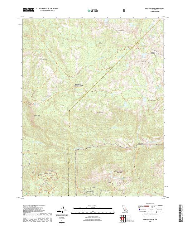
2021 Map of Mariposa Grove
USGS Topo · Published 2021About this map
Yosemite National Park and the Sierra National Forest converge on this high-altitude landscape, bisected by the Mariposa Co Madera Co border. The southwestern corner is dominated by the legendary Mariposa Grove, where a complex network of paths like the Grizzly Giant Loop Trl and Perimeter Trl provide access to the giant sequoia stands. To the north, the South Fork Merced River carves a deep valley, designated as the Merced Wild and Scenic River, separating the southern forest from the higher peaks of the Sierra Nevada range.
Find a feature on this map
50 named features on this map. Tap any name to fly to it.
Don’t see what you’re looking for? This feature index may not catch every label — zoom into the map to look around manually.
Map Details
Editions of this 2021 Mariposa Grove Map
This is the sole edition of this map. No revisions or reprints were ever made.
Other maps of this area

1897 · Yosemite
USGS Topo · 1:125,000

1900 · Yosemite
USGS Topo · 1:125,000

1901 · Mt. Lyell
USGS Topo · 1:125,000

1903 · Yosemite
USGS Topo · 1:125,000

1904 · Kaiser
USGS Topo · 1:125,000

1909 · Yosemite
USGS Topo · 1:125,000

1912 · Mariposa
USGS Topo · 1:125,000

1947 · Mariposa
USGS Topo · 1:250,000

1948 · Mariposa
USGS Topo · 1:250,000

1953 · Merced Peak
USGS Topo · 1:62,500