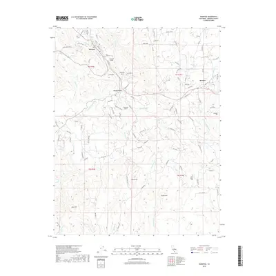
2018 Map of Mariposa
USGS Topo · Published 2018About this map
Mariposa serves as the focal point of this Mother Lode landscape, positioned where Stockton Cr and Mariposa Cr descend from the surrounding ridges. The town's historical roots are visible in the placement of Saint Joseph Cem and the winding path of Old Hwy 49 N. To the southeast, the settlement of Mormon Bar and the rural community of Bootjack mark the transitions between steep canyons and high flats. The terrain is defined by prominent elevations such as Stockton Ridge and Indian Mtn, while the drainage network includes the W Fork Chowchilla River and the uniquely named Australia Gulch. Notable landmarks like Striped Rock and Lookout Mtn highlight the local topography, offering a clear view of the area's development from concentrated mountain towns to spread-out rural roads and named flats like John Allen Flat.
Find a feature on this map
102 named features on this map. Tap any name to fly to it.
Don’t see what you’re looking for? This feature index may not catch every label — zoom into the map to look around manually.
Map Details
Editions of this 2018 Mariposa Map
This is the sole edition of this map. No revisions or reprints were ever made.
Other maps of this area

1893 · Sonora
USGS Topo · 1:125,000

1896 · Sonora
USGS Topo · 1:125,000

1897 · Sonora
USGS Topo · 1:125,000

1897 · Yosemite
USGS Topo · 1:125,000

1898 · Sonora
USGS Topo · 1:125,000

1900 · Yosemite
USGS Topo · 1:125,000

1903 · Yosemite
USGS Topo · 1:125,000

1909 · Yosemite
USGS Topo · 1:125,000

1912 · Mariposa
USGS Topo · 1:125,000

1919 · Indian Gulch
USGS Topo · 1:48,000