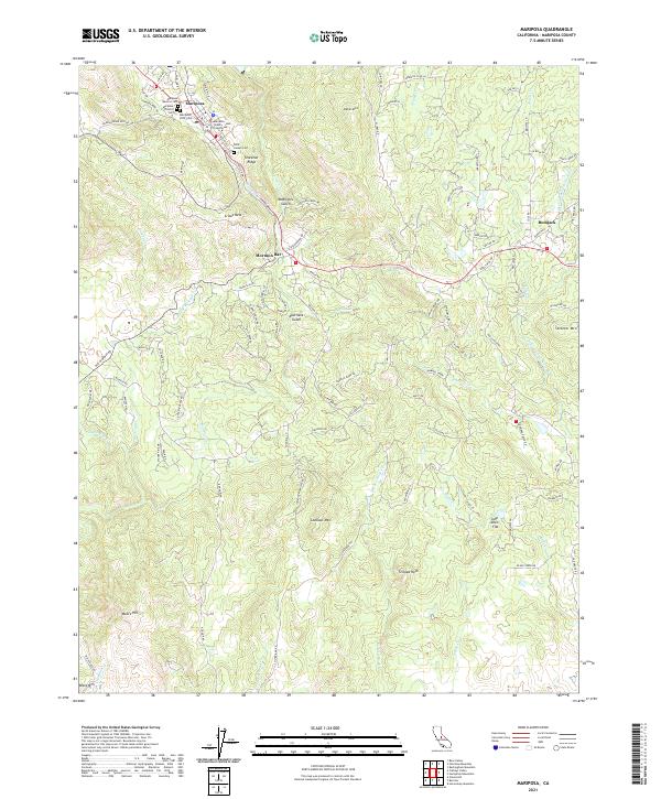
2021 Map of Mariposa
USGS Topo · Published 2021About this map
The Mariposa County Courthouse stands as the civic centerpiece of the community, surrounded by a dense concentration of local history markers, including the Mariposa Masonic Cem, Mariposa District Cem, and Mariposa IOOF Cem. This modern survey illustrates how the town remains the primary hub of activity in this part of the Sierra Nevada foothills, with Mariposa Cr winding through its center and several roads branching out to smaller settlements like Mormon Bar and Bootjack. The landscape is defined by its gold-rush legacy, evidenced by names like McBrights Gulch and Australia Gulch. Elevated landmarks such as Stockton Ridge, Lookout Mtn, and Striped Rock break up the terrain, while the southern reaches of the quadrangle show the drainage patterns of Agua Fria Cr and Buckeye Cr as they cut through the hills near Moore Hill.
Find a feature on this map
108 named features on this map. Tap any name to fly to it.
Don’t see what you’re looking for? This feature index may not catch every label — zoom into the map to look around manually.
Map Details
Editions of this 2021 Mariposa Map
This is the sole edition of this map. No revisions or reprints were ever made.
Other maps of this area

1893 · Sonora
USGS Topo · 1:125,000

1896 · Sonora
USGS Topo · 1:125,000

1897 · Sonora
USGS Topo · 1:125,000

1897 · Yosemite
USGS Topo · 1:125,000

1898 · Sonora
USGS Topo · 1:125,000

1900 · Yosemite
USGS Topo · 1:125,000

1903 · Yosemite
USGS Topo · 1:125,000

1909 · Yosemite
USGS Topo · 1:125,000

1912 · Mariposa
USGS Topo · 1:125,000

1919 · Indian Gulch
USGS Topo · 1:48,000