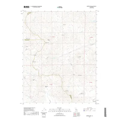
2018 Map of Mariposa Peak
USGS Topo · Published 2018About this map
Mariposa Peak and Cathedral Peak stand as prominent landmarks along the intersection of Santa Clara, Merced, and San Benito counties. This high-country landscape is defined by the Diablo Range and a network of named peaks including Antimony Peak and Laveaga Peak. The terrain is deeply incised by drainages such as the Arroyo De Las Viboras and the S Fork Pacheco Cr.
Find a feature on this map
41 named features on this map. Tap any name to fly to it.
Don’t see what you’re looking for? This feature index may not catch every label — zoom into the map to look around manually.
Map Details
Editions of this 2018 Mariposa Peak Map
This is the sole edition of this map. No revisions or reprints were ever made.
Other maps of this area

1919 · Hollister
USGS Topo · 1:48,000

1920 · Pacheco Pass
USGS Topo · 1:62,500

1921 · Gilroy Hot Springs
USGS Topo · 1:62,500

1921 · Hollister
USGS Topo · 1:62,500

1922 · Quien Sabe
USGS Topo · 1:62,500

1922 · San Luis Creek
USGS Topo · 1:31,680

1923 · Hollister
USGS Topo · 1:62,500

1939 · Gilroy Hot Springs
USGS Topo · 1:62,500

1940 · Gilroy Hot Springs
USGS Topo · 1:62,500

1940 · Hollister
USGS Topo · 1:62,500