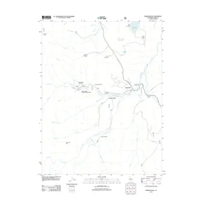
2012 Map of Markleeville
USGS Topo · Published 2012About this map
Markleeville and the adjacent Marklee Village serve as the primary hubs in this high-altitude landscape of the Sierra Nevada. The terrain is defined by dramatic peaks and deep canyons, with the E Fork Carson River carving a course past the historic Hangmans Bridge. To the west, the Shay Creek Summer Home Area is nestled near Soda Spring and Hot Springs Valley, areas long noted for their natural geothermal activity and seasonal recreation. High-elevation drainage systems including Pleasant Valley Cr and Spratt Cr descend from landmarks like Thornburg Peak and Hawkins Peak. The map highlights a concentration of backcountry infrastructure, from the Alpine County Airport to several managed campgrounds such as Toiyabe Campground and Indian Creek Campground, reflecting the region's mid-20th-century transition toward a tourism and forest-service-based economy.
Find a feature on this map
44 named features on this map. Tap any name to fly to it.
Don’t see what you’re looking for? This feature index may not catch every label — zoom into the map to look around manually.
Map Details
Editions of this 2012 Markleeville Map
This is the sole edition of this map. No revisions or reprints were ever made.
Other maps of this area

1889 · Markleeville
USGS Topo · 1:125,000

1891 · Markleeville
USGS Topo · 1:125,000

1893 · Markleeville
USGS Topo · 1:125,000

1948 · Walker Lake
USGS Topo · 1:250,000
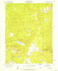
1955 · Freel Peak
USGS Topo · 1:24,000

1956 · Freel Peak
USGS Topo · 1:62,500

1956 · Topaz Lake
USGS Topo · 1:62,500

1956 · Markleeville
USGS Topo · 1:62,500

1957 · Walker Lake
USGS Topo · 1:250,000
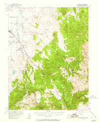
1957 · Mt. Siegel
USGS Topo · 1:62,500