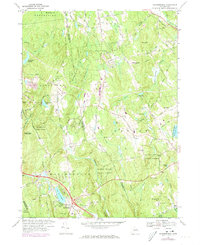
1967 Map of Marlborough
USGS Topo · Published 1979About this map
Lake Terramuggus serves as a central landmark for the town of Marlborough, where local landmarks like the Mary Hall Sch and the Old Marlborough Cem reflect the community's established history. The landscape is heavily defined by conservation and recreation areas, including the Meshomasic State Forest to the west and the expansive Salmon River State Forest that flanks the Blackledge River. These wooded tracts are interspersed with family-named elevations like John Tom Hill and Burrows Hill, providing a glimpse into the land-use patterns of Tolland and Hartford Counties during the late 1960s.
Find a feature on this map
76 named features on this map. Tap any name to fly to it.
Don’t see what you’re looking for? This feature index may not catch every label — zoom into the map to look around manually.
Map Details
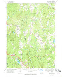
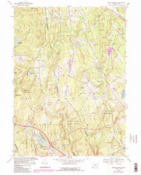
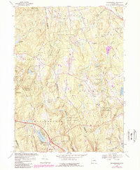
Editions of this 1967 Marlborough Map
4 editions found
Other maps of this area

1892 · Hartford
USGS Topo · 1:62,500

1892 · Tolland
USGS Topo · 1:62,500

1892 · Gilead
USGS Topo · 1:62,500

1893 · Middletown
USGS Topo · 1:62,500

1906 · Farmington
USGS Topo · 1:125,000

1921 · Tolland
USGS Topo · 1:62,500

1928 · Glastonbury
USGS Topo · 1:24,000

1928 · Manchester
USGS Topo · 1:24,000

1944 · Manchester
USGS Topo · 1:31,680

1944 · Marlboro
USGS Topo · 1:31,680