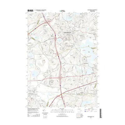
2015 Map of Marlborough
USGS Topo · Published 2015About this map
Marlborough serves as the central hub of this mid-2010s landscape, where dense residential development meets several significant water bodies and hills. The city is surrounded by a ring of historic burial grounds, including the Old Common Cem, Spring Hill Cem, and Maplewood Cem, reflecting its long-standing community roots. To the north, the Fort Meadow Reservoir dominates the terrain, while the Assabet River flows through the northwestern corner.
Find a feature on this map
91 named features on this map. Tap any name to fly to it.
Don’t see what you’re looking for? This feature index may not catch every label — zoom into the map to look around manually.
Map Details
Editions of this 2015 Marlborough Map
This is the sole edition of this map. No revisions or reprints were ever made.
Other maps of this area

1886 · Blackstone
USGS Topo · 1:62,500

1886 · Framingham
USGS Topo · 1:62,500

1887 · Franklin
USGS Topo · 1:62,500

1887 · Marlboro
USGS Topo · 1:62,500

1889 · Marlboro
USGS Topo · 1:62,500

1889 · Blackstone
USGS Topo · 1:62,500

1889 · Franklin
USGS Topo · 1:62,500

1889 · Framingham
USGS Topo · 1:62,500

1893 · Franklin
USGS Topo · 1:62,500

1893 · Blackstone
USGS Topo · 1:62,500