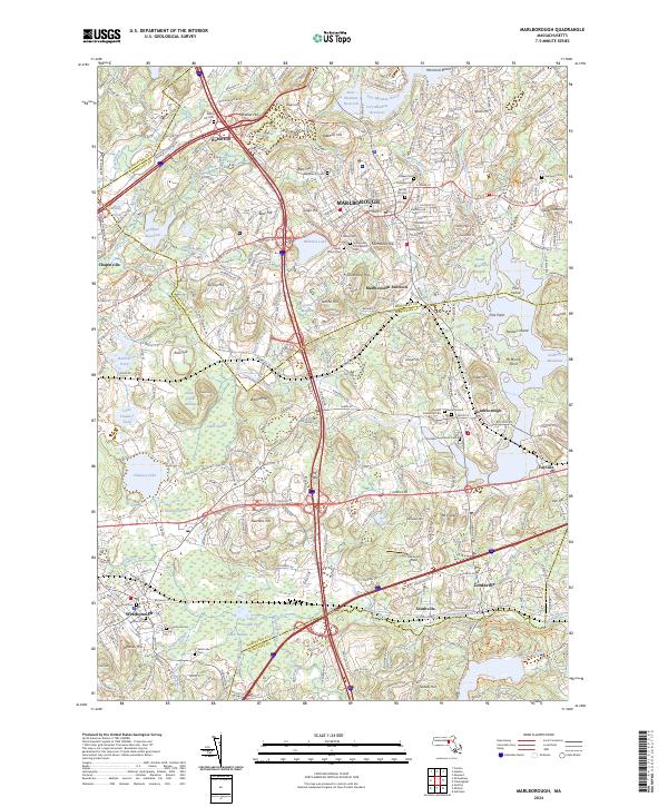
2024 Map of Marlborough
USGS Topo · Published 2024About this map
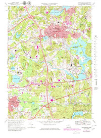
Marlborough stands as a central hub at the intersection of the Worcester and Middlesex county line, defined by a complex network of glacial hills and modern water management. The landscape is punctuated by numerous peaks such as Robin Hill, Sligo Hill, and Mt Nebo, while large-scale water features like the Fort Meadow Reservoir, Sudbury Reservoir, and Millham Reservoir illustrate the region's importance to the regional water supply. The area's long-standing community roots are evident in its dense collection of burial sites, including the Old Burial Ground and Southborough Rural Cem. Modern transitions are visible in the Assabet River Rail Trail, which follows the path of former rail lines through the urban center, while traditional corridors like the Boston Post Rd and Turnpike Rd continue to anchor the region's transportation framework between Westborough, Southborough, and Fayville.
Find a feature on this map
93 named features on this map. Tap any name to fly to it.
Don’t see what you’re looking for? This feature index may not catch every label — zoom into the map to look around manually.
Map Details
Editions of this 2024 Marlborough Map
This is the sole edition of this map. No revisions or reprints were ever made.
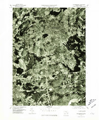
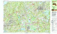
Historical Maps of West Village Through Time
4 maps found