Loading...
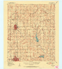
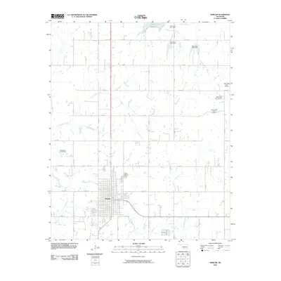
Loading map...1951 Map of Marlow
USGS Topo · Published 1951About this map
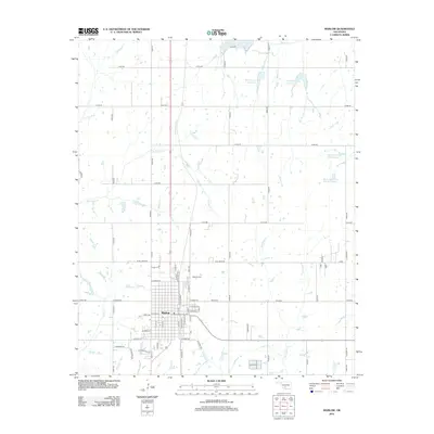
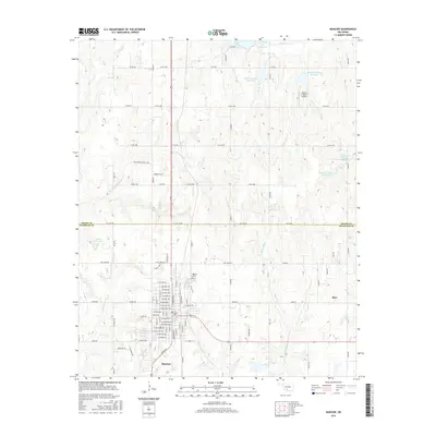
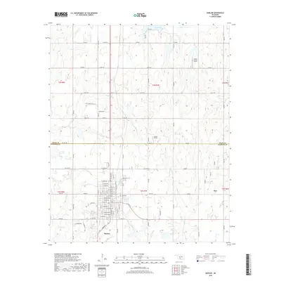
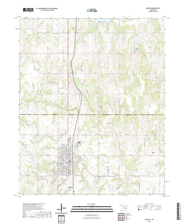
Marlow and the northern reaches of Duncan anchor this mid-century portrait of Stephens County, where the historic path of the Chisholm Trail and the Old Chisholm Trail intersect with the modern industrial landscape. The survey details a region defined by the Chicago Rock Island and Pacific railroad and an emerging energy sector, evidenced by numerous oil wells and the Radio Sta KRDH.
Find a feature on this map
33 named features on this map. Tap any name to fly to it.
Don’t see what you’re looking for? This feature index may not catch every label — zoom into the map to look around manually.
Map Details
Date Portrayed1951
Date Published1951
PublisherU.S. Geological Survey
Map TypeTopographic
Scale1:62,500
Physical Dimensions19 x 21.3 inches
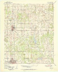
Editions of this 1951 Marlow Map
2 editions found
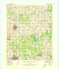
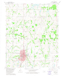
Historical Maps of Duncan Through Time
8 maps found
Featured Locations
Source Details
SourceU.S. Geological Survey
CopyrightPublic Domain