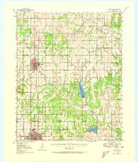
1950 Map of Marlow
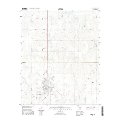
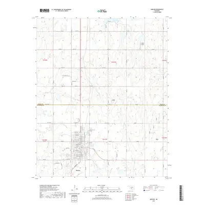
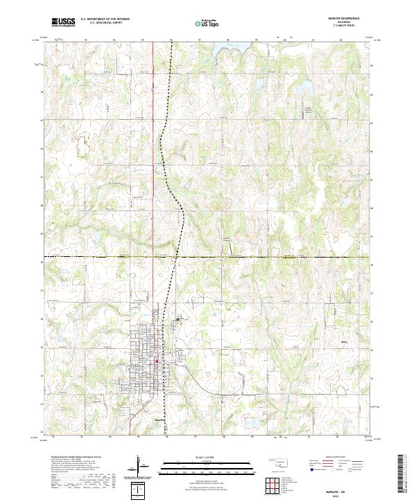
USGS Topo · Published 1973About this map
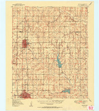
Marlow and Duncan anchor this mid-century survey of the Chisholm Trail country, where the Chicago Rock Island and Pacific railroad tracks bisect a landscape defined by oil production and rural education. The map preserves a dense network of one-room schoolhouses such as Stover Sch, Trail Sch, and Fourmile Sch, alongside emerging recreational and industrial landmarks like the Drive-in Theater and Radio Sta KRHD. The terrain transitions from the Rush Springs uplands down to the reservoir waters of Lake Chisholm Trail and Lake Duncan, which were relatively new features on the Oklahoma landscape at the time of the 1946 aerial photography. Significant historical markers include the Indian Territory Boundary Line, serving as a reminder of the region's complex jurisdictional history just north of the Wildhorse Creek drainage.
Find a feature on this map
31 named features on this map. Tap any name to fly to it.
Don’t see what you’re looking for? This feature index may not catch every label — zoom into the map to look around manually.
Map Details
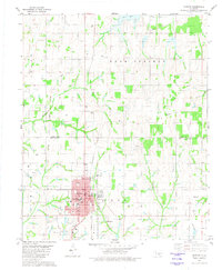
Editions of this 1950 Marlow Map
This is the sole edition of this map. No revisions or reprints were ever made.
Historical Maps of Duncan Through Time
8 maps found