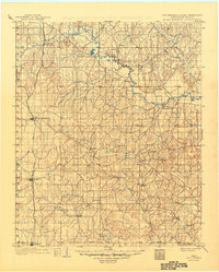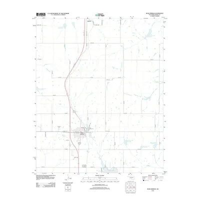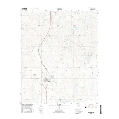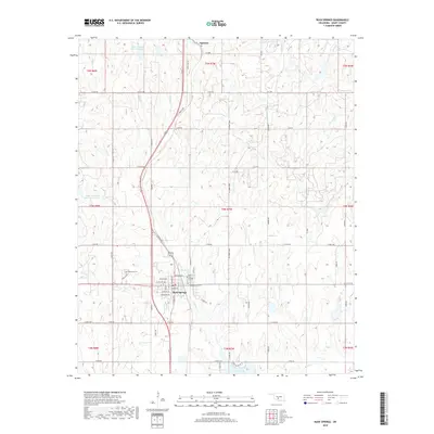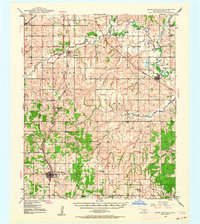
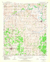
1949 Map of Rush Springs
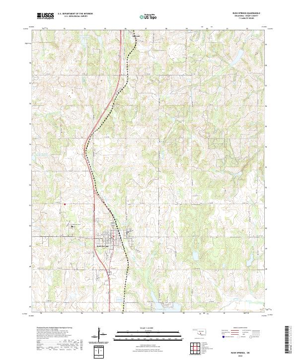
USGS Topo · Published 1964About this map
The Little Washita River and Washita River meander through this post-war Oklahoma landscape, shaping the development of agricultural communities across Grady County. The Chicago Rock Island and Pacific railroad serves as the primary corridor for commerce, connecting the regional hubs of Rush Springs and Ninnekah. The mapping captures a network of small rural schools that served as community anchors before widespread consolidation, including Vimy Ridge Sch, Pea Ridge Sch, and Elm Flat Sch. Smaller settlements like Alex and Agawam are documented alongside local landmarks such as Ireton Cem and Morris Cem. This survey illustrates a period of established farm-to-market infrastructure, where tributary creeks like Roaring Creek and Winter Creek define the property boundaries and drainage patterns of the southern plains.
Find a feature on this map
44 named features on this map. Tap any name to fly to it.
Don’t see what you’re looking for? This feature index may not catch every label — zoom into the map to look around manually.
Map Details
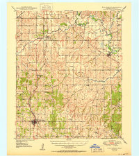
Editions of this 1949 Rush Springs Map
2 editions found
Historical Maps of Chickasha Through Time
9 maps found