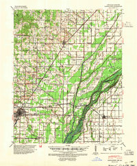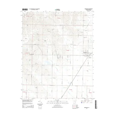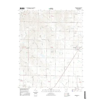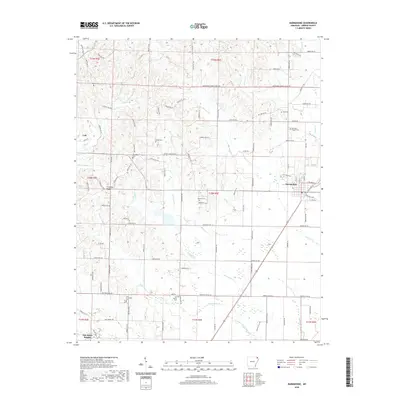
1959 Map of Marmaduke
USGS Topo · Published 1959About this map
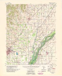
The St Louis Southwestern RR forms a sharp diagonal through the heart of Greene County, anchoring the town of Marmaduke and the northern outskirts of Paragould. This mid-century landscape is defined by its complex drainage network, where the St Francis River and Arkansas Missouri boundary weave through a series of significant island ridges like Poplar Ridge and Brushy Island Ridge. The eastern portion of the map reveals the intricate hydrology of the St Francis River bottomlands, featuring Boland Slough and Gum Slough Ditch. Inland, the rural character of the era is evident in the dense distribution of small community landmarks, including New Friendship Ch and Lake Side Sch. Genealogists will find a wealth of family history markers in the numerous burial grounds, such as Cudd Cem and Harrison Cem, which are scattered throughout the agricultural grid.
Find a feature on this map
83 named features on this map. Tap any name to fly to it.
Don’t see what you’re looking for? This feature index may not catch every label — zoom into the map to look around manually.
Map Details
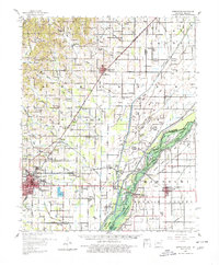
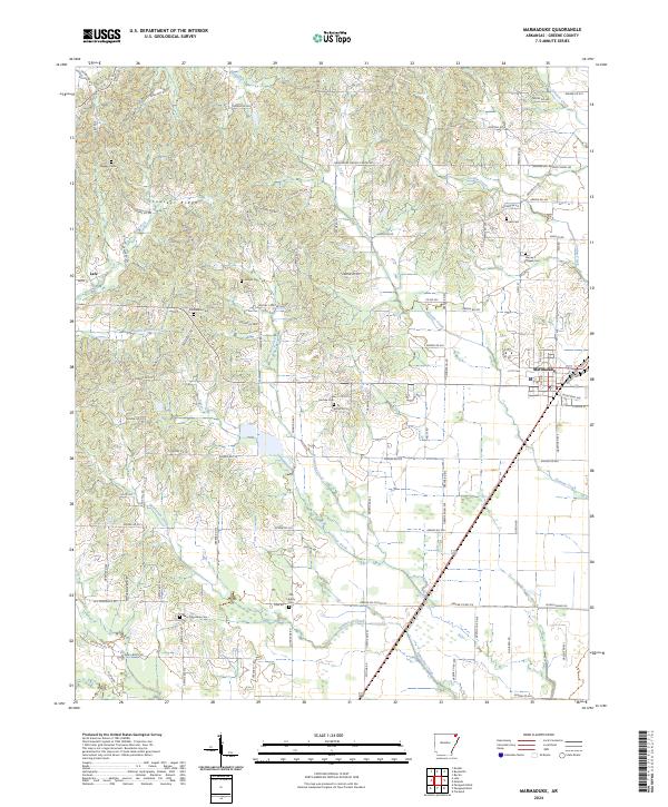
Editions of this 1959 Marmaduke Map
This is the sole edition of this map. No revisions or reprints were ever made.
Historical Maps of Paragould Through Time
9 maps found