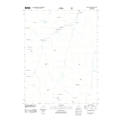
2011 Map of Maroon Bells
USGS Topo · Published 2011About this map
The high Elk Mountains define this 2011 survey, centered on the iconic peaks and alpine basins of the White River National Forest. The legendary Maroon Bells dominate the western skyline, flanked by North Maroon Peak and the nearby Maroon Peak, while Pyramid Peak rises to the east across the valley. This area has long been a focal point for wilderness recreation and scientific study, with the drainage of Maroon Creek providing the primary access point through the Maroon Lake Campground.
Find a feature on this map
37 named features on this map. Tap any name to fly to it.
Don’t see what you’re looking for? This feature index may not catch every label — zoom into the map to look around manually.
Map Details
Editions of this 2011 Maroon Bells Map
This is the sole edition of this map. No revisions or reprints were ever made.
Other maps of this area

1888 · Crested Butte
USGS Topo · 1:62,500

1888 · Anthracite
USGS Topo · 1:62,500

1889 · Crested Butte
USGS Topo · 1:62,500

1889 · Anthracite
USGS Topo · 1:62,500

1893 · Anthracite
USGS Topo · 1:62,500

1893 · Crested Butte
USGS Topo · 1:62,500

1893 · Aspen
USGS Topo · 1:62,500

1894 · Anthracite
USGS Topo · 1:62,500

1895 · Aspen
USGS Topo · 1:62,500

1909 · Mount Jackson
USGS Topo · 1:125,000