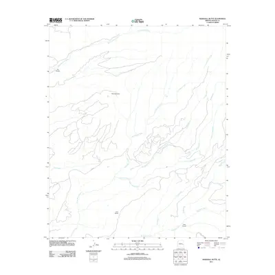
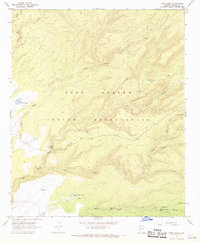
2011 Map of Marshall Butte
USGS Topo · Published 2011About this map
Marshall Butte rises as a central landmark in this high-elevation landscape of Arizona's Apache County, defined by an intricate network of drainages and canyons. The East Fork White River cuts through the northern reaches near Elk Canyon, while the southern portion is dominated by the confluence of Big Bonito Creek and its many tributaries, including Little Bonito Creek and Crooked Creek. This 2011 survey by the U.S. Geological Survey illustrates a terrain largely shaped by water, where named features like Lofer Bench and Lofer Cienega Creek suggest a landscape used primarily for ranching or seasonal movement. While Co Hwy 72 and Rock Creek appear in the west, much of the area remains dominated by natural topography, providing a clear record of the watershed patterns that feed the White River system.
Find a feature on this map
14 named features on this map. Tap any name to fly to it.
Don’t see what you’re looking for? This feature index may not catch every label — zoom into the map to look around manually.
Map Details
Editions of this 2011 Marshall Butte Map
This is the sole edition of this map. No revisions or reprints were ever made.
Other maps of this area

1954 · Clifton
USGS Topo · 1:250,000

1957 · Clifton
USGS Topo · 1:250,000

1958 · Clifton
USGS Topo · 1:250,000

1962 · Clifton
USGS Topo · 1:250,000
1966 · Hawley Lake West
USGS Topo · 1:24,000

1967 · Marshall Butte
USGS Topo · 1:24,000
1967 · Corn Creek Plateau
USGS Topo · 1:24,000
1967 · Bonito Rock
USGS Topo · 1:24,000

1967 · Odart Mtn
USGS Topo · 1:24,000
1967 · Corn Creek
USGS Topo · 1:24,000