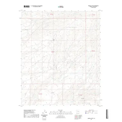
2021 Map of Marshall Butte
USGS Topo · Published 2021About this map
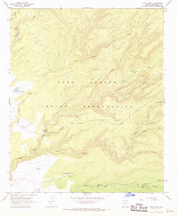
Marshall Butte and the surrounding high-altitude terrain of the White Mountains define this landscape in Apache County. The map reveals a complex network of waterways, including the E Fork White River in the north and the expansive Big Bonito Cr drainage system to the south. Notable wetlands such as Lofer Cienega indicate the unique hydrology of this montane environment, where drainage from Lofer Bench feeds into Lofer Cienega Cr and Crooked Cr. The area is largely defined by its natural topography rather than dense settlement, with only a few corridors like Co RD 71 and Co RD 72 providing access through the steep drainages of Elk Canyon and Long Canyon. This 2021 survey provides a clear view of the modern hydrological and topographical features that have shaped the region's land use and local geography for decades.
Find a feature on this map
23 named features on this map. Tap any name to fly to it.
Don’t see what you’re looking for? This feature index may not catch every label — zoom into the map to look around manually.
Map Details
Editions of this 2021 Marshall Butte Map
This is the sole edition of this map. No revisions or reprints were ever made.
Other maps of this area

1954 · Clifton
USGS Topo · 1:250,000

1957 · Clifton
USGS Topo · 1:250,000

1958 · Clifton
USGS Topo · 1:250,000

1962 · Clifton
USGS Topo · 1:250,000
1966 · Hawley Lake West
USGS Topo · 1:24,000

1967 · Marshall Butte
USGS Topo · 1:24,000
1967 · Corn Creek Plateau
USGS Topo · 1:24,000
1967 · Bonito Rock
USGS Topo · 1:24,000

1967 · Odart Mtn
USGS Topo · 1:24,000
1967 · Corn Creek
USGS Topo · 1:24,000