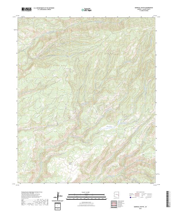
2023 Map of Marshall Butte
USGS Topo · Published 2023About this map
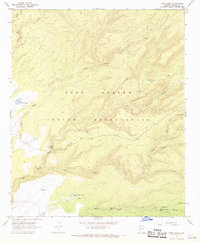
Marshall Butte rises as a prominent landmark within the White Mountains of Apache County, serving as a focal point for this high-elevation drainage system. The landscape is defined by an intricate network of waterways, including the East Fork White River and several significant tributaries such as Big Bonito Creek and Little Bonito Creek. In the southwestern portion of the map, the terrain levels out at Lofer Bench, a distinct upland area located near Lofer Cienega and its namesake Lofer Cienega Creek.
Find a feature on this map
22 named features on this map. Tap any name to fly to it.
Don’t see what you’re looking for? This feature index may not catch every label — zoom into the map to look around manually.
Map Details
Editions of this 2023 Marshall Butte Map
This is the sole edition of this map. No revisions or reprints were ever made.
Other maps of this area

1954 · Clifton
USGS Topo · 1:250,000

1957 · Clifton
USGS Topo · 1:250,000

1958 · Clifton
USGS Topo · 1:250,000

1962 · Clifton
USGS Topo · 1:250,000
1966 · Hawley Lake West
USGS Topo · 1:24,000

1967 · Marshall Butte
USGS Topo · 1:24,000
1967 · Corn Creek Plateau
USGS Topo · 1:24,000
1967 · Bonito Rock
USGS Topo · 1:24,000

1967 · Odart Mtn
USGS Topo · 1:24,000
1967 · Corn Creek
USGS Topo · 1:24,000