
1967 Map of Marshall Butte
USGS Topo · Published 1970About this map
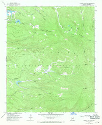
Fort Apache Indian Reservation encompasses this high-elevation landscape in eastern Arizona, characterized by a complex network of canyons and high-mountain drainages. The topography is anchored by Marshall Butte, with the northern portion defined by the East Fork White River and Elk Canyon. This survey captures the region during a period of minimal development, where movement across the terrain was primarily facilitated by a Jeep Trail and a Pack Trail, indicating a reliance on backcountry routes for navigation through the reservation.
Find a feature on this map
18 named features on this map. Tap any name to fly to it.
Don’t see what you’re looking for? This feature index may not catch every label — zoom into the map to look around manually.
Map Details
Editions of this 1967 Marshall Butte Map
This is the sole edition of this map. No revisions or reprints were ever made.
Other maps of this area

1954 · Clifton
USGS Topo · 1:250,000

1957 · Clifton
USGS Topo · 1:250,000

1958 · Clifton
USGS Topo · 1:250,000

1962 · Clifton
USGS Topo · 1:250,000
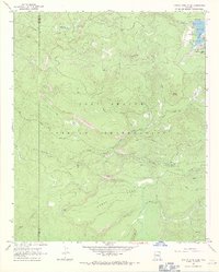
1966 · Hawley Lake West
USGS Topo · 1:24,000
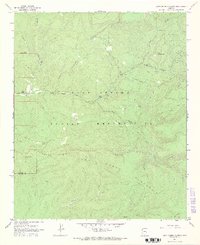
1967 · Corn Creek Plateau
USGS Topo · 1:24,000
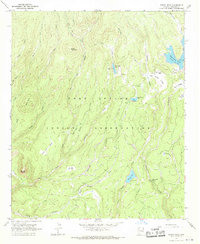
1967 · Bonito Rock
USGS Topo · 1:24,000

1967 · Odart Mtn
USGS Topo · 1:24,000
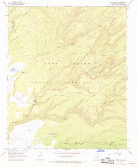
1967 · Corn Creek
USGS Topo · 1:24,000
1967 · Hawley Lake East
USGS Topo · 1:24,000