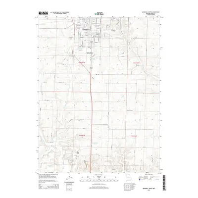
2015 Map of Marshall South
USGS Topo · Published 2015About this map
Marshall serves as the focal point of this Saline County landscape, where the street grid of the town's southern edge transitions into a network of agricultural sections and meandering creek beds. The area is defined by the winding course of the Salt Fork and its tributaries, including N Fork Finney Cr and Dicks Br. To the south, the terrain becomes increasingly complex around the settlement of Blue Lick, a location historically noted for its mineral waters as evidenced by Blue Lick Springs.
Find a feature on this map
63 named features on this map. Tap any name to fly to it.
Don’t see what you’re looking for? This feature index may not catch every label — zoom into the map to look around manually.
Map Details
Editions of this 2015 Marshall South Map
This is the sole edition of this map. No revisions or reprints were ever made.
Other maps of this area

1887 · Sedalia
USGS Topo · 1:125,000

1890 · Marshall
USGS Topo · 1:125,000

1892 · Marshall
USGS Topo · 1:125,000

1894 · Sedalia
USGS Topo · 1:125,000

1901 · Marshall
USGS Topo · 1:125,000

1939 · Sweet Springs
USGS Topo · 1:62,500

1940 · Sweet Springs
USGS Topo · 1:62,500

1940 · Marshall
USGS Topo · 1:62,500

1941 · Sweet Springs
USGS Topo · 1:62,500

1944 · Marshall
USGS Topo · 1:62,500