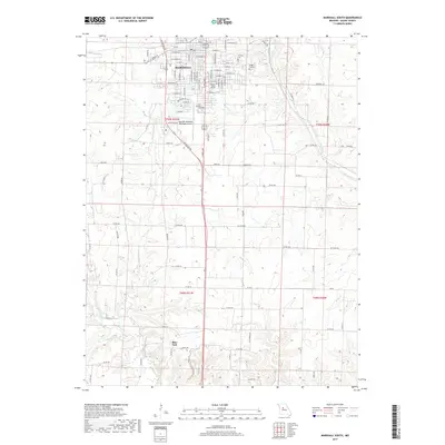
2017 Map of Marshall South
USGS Topo · Published 2017About this map
Marshall serves as the focal point of this Saline County landscape, where the campus of Missouri Valley College stands near the intersection of various city streets like E College St and S Odell Ave. The northern portion of the map is defined by the city's residential and educational expansion, while the southern reach transitions into a network of creek drainages including Finney Cr and Brush Cr. The presence of several distinct burial grounds, such as Fairview Cem and Sunset Gardens Cem, provides a significant footprint for local genealogical study within the municipal boundaries.
Find a feature on this map
96 named features on this map. Tap any name to fly to it.
Don’t see what you’re looking for? This feature index may not catch every label — zoom into the map to look around manually.
Map Details
Editions of this 2017 Marshall South Map
This is the sole edition of this map. No revisions or reprints were ever made.
Other maps of this area

1887 · Sedalia
USGS Topo · 1:125,000

1890 · Marshall
USGS Topo · 1:125,000

1892 · Marshall
USGS Topo · 1:125,000

1894 · Sedalia
USGS Topo · 1:125,000

1901 · Marshall
USGS Topo · 1:125,000

1939 · Sweet Springs
USGS Topo · 1:62,500

1940 · Sweet Springs
USGS Topo · 1:62,500

1940 · Marshall
USGS Topo · 1:62,500

1941 · Sweet Springs
USGS Topo · 1:62,500

1944 · Marshall
USGS Topo · 1:62,500