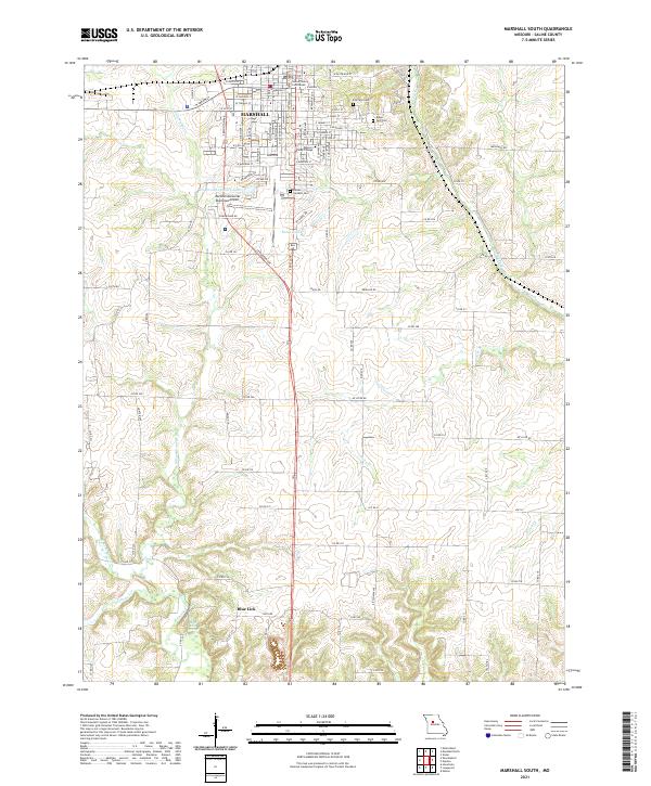
2021 Map of Marshall South
USGS Topo · Published 2021About this map
The Saline County Courthouse serves as the focal point for the city of Marshall, which occupies the northern portion of this survey. The urban grid is well-defined by historical thoroughfares like W Arrow St and W Morgan St, extending south toward Missouri Valley College. This map illustrates the transition from the concentrated residential blocks of the county seat to the sprawling agricultural drainage basins of the Missouri interior. The landscape is deeply etched by a complex network of waterways, including the Salt Fork and multiple branches of Finney Cr, which shape the local topography. Further south, the terrain opens into rural landscape where Blue Lick Springs and the winding course of Crooked Cr suggest the natural hydrology that influenced early settlement patterns and land use in this part of Saline County.
Find a feature on this map
78 named features on this map. Tap any name to fly to it.
Don’t see what you’re looking for? This feature index may not catch every label — zoom into the map to look around manually.
Map Details
Editions of this 2021 Marshall South Map
This is the sole edition of this map. No revisions or reprints were ever made.
Other maps of this area

1887 · Sedalia
USGS Topo · 1:125,000

1890 · Marshall
USGS Topo · 1:125,000

1892 · Marshall
USGS Topo · 1:125,000

1894 · Sedalia
USGS Topo · 1:125,000

1901 · Marshall
USGS Topo · 1:125,000

1939 · Sweet Springs
USGS Topo · 1:62,500

1940 · Sweet Springs
USGS Topo · 1:62,500

1940 · Marshall
USGS Topo · 1:62,500

1941 · Sweet Springs
USGS Topo · 1:62,500

1944 · Marshall
USGS Topo · 1:62,500