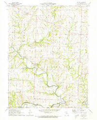
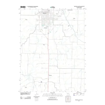
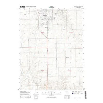
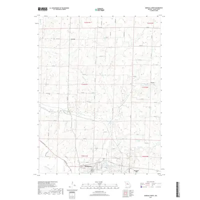
1971 Map of Marshall South
USGS Topo · Published 1973About this map
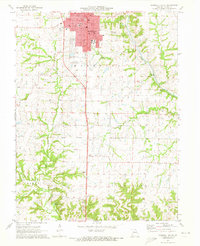
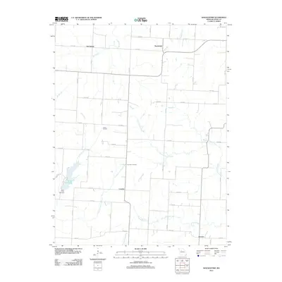
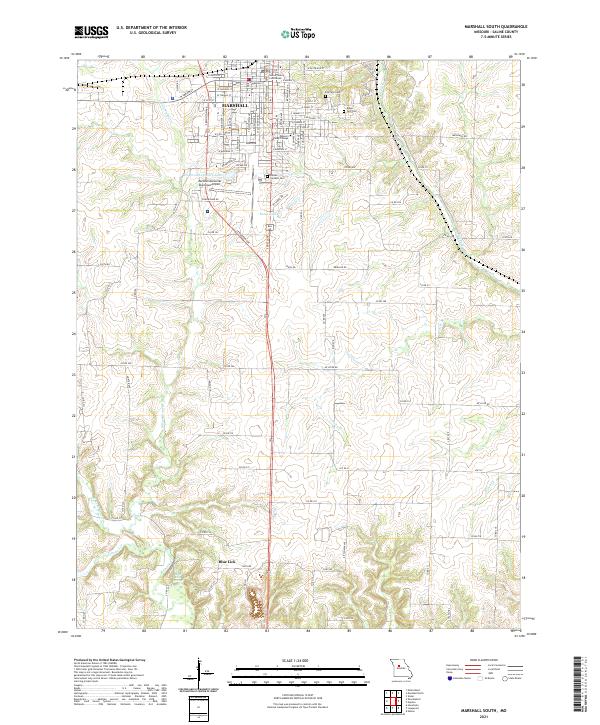
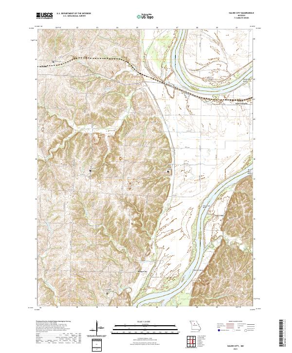
Marshall serves as the focal point of this Saline County survey, dominated by a dense grid of civic and educational institutions. The campus of Missouri Valley College and the Vocational and Technical Sch anchor the southern part of the city, while the Courthouse, City Hall, and Po define the municipal center. The local infrastructure of the early 1970s is well-documented, showing the Gulf Mobile and Ohio railroad corridor and the Marshall Memorial Airport alongside residential developments like Town and Country Lake.
Find a feature on this map
36 named features on this map. Tap any name to fly to it.
Don’t see what you’re looking for? This feature index may not catch every label — zoom into the map to look around manually.
Map Details
Editions of this 1971 Marshall South Map
This is the sole edition of this map. No revisions or reprints were ever made.
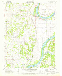
Historical Maps of Marshall Through Time
35 maps found

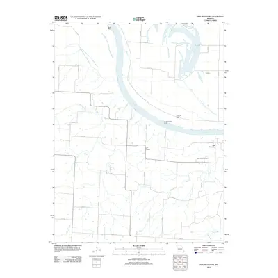
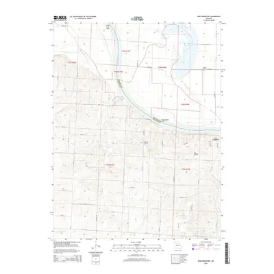
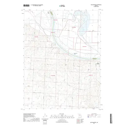
1951 New Frankfort
Saline County, MO
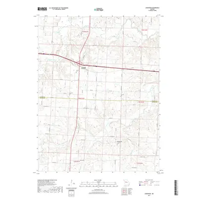
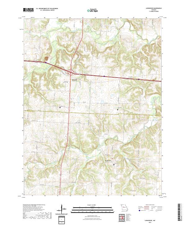
1953 Longwood
Saline County, MO
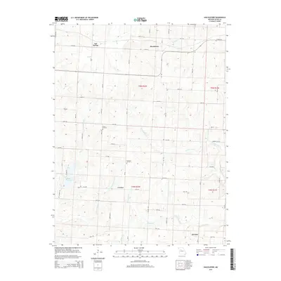
1953 Shackleford
Saline County, MO
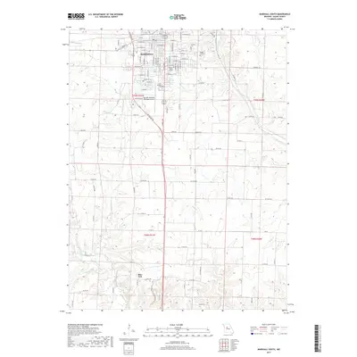
1971 Marshall North
Saline County, MO
1971 Marshall South
Saline County, MO
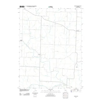
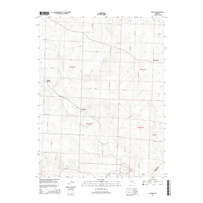
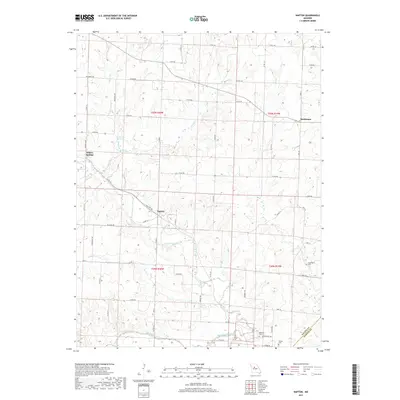
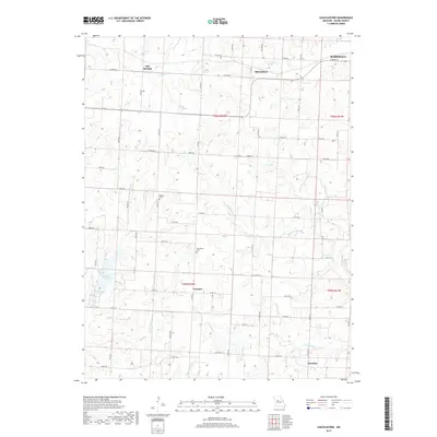
1971 Napton
Saline County, MO
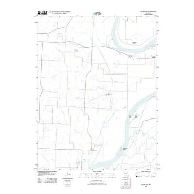
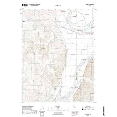
1971 Saline City
Saline County, MO
2011 Longwood
Saline County, MO
2012 Marshall North
Saline County, MO
2012 Marshall South
Saline County, MO
2012 Napton
Saline County, MO
2012 New Frankfort
Saline County, MO
2012 Saline City
Saline County, MO
2012 Shackleford
Saline County, MO
2014 Longwood
Saline County, MO
2014 Saline City
Saline County, MO
2015 Marshall North
Saline County, MO
2015 Marshall South
Saline County, MO
2015 Napton
Saline County, MO
2015 New Frankfort
Saline County, MO
2015 Shackleford
Saline County, MO
2017 Longwood
Saline County, MO
2017 Marshall North
Saline County, MO
2017 Marshall South
Saline County, MO
2017 Napton
Saline County, MO
2017 New Frankfort
Saline County, MO
2017 Saline City
Saline County, MO
2017 Shackleford
Saline County, MO
2021 Longwood
Saline County, MO
2021 Marshall North
Saline County, MO
2021 Marshall South
Saline County, MO
2021 Napton
Saline County, MO
2021 New Frankfort
Saline County, MO
2021 Saline City
Saline County, MO
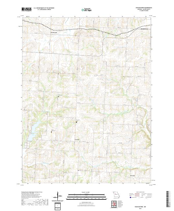
2021 Shackleford
Saline County, MO