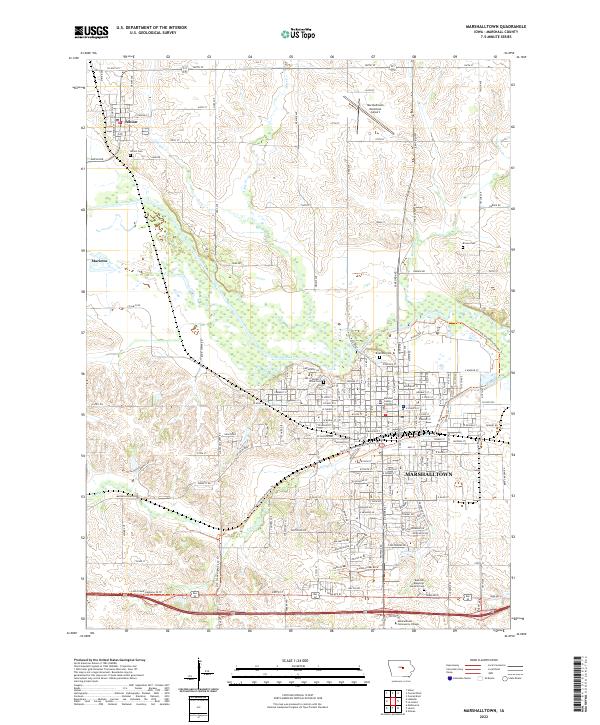
2022 Map of Marshalltown
USGS Topo · Published 2022About this map
The Marshalltown city center, anchored by the Marshall County Courthouse, dominates the southern half of this modern topographical study. The urban layout transitions from the dense street grid of the historic core to the expansive Marshalltown Community College campus and residential developments toward the southeast. The Iowa River carves a wide path through the central landscape, accompanied by the Linn Creek Greenbelt Parkway Trl, which offers a continuous corridor of recreation through the river valley.
Find a feature on this map
51 named features on this map. Tap any name to fly to it.
Don’t see what you’re looking for? This feature index may not catch every label — zoom into the map to look around manually.
Map Details
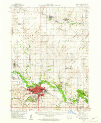
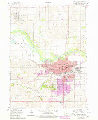
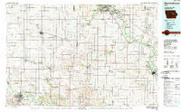
Editions of this 2022 Marshalltown Map
This is the sole edition of this map. No revisions or reprints were ever made.
Historical Maps of Marshalltown Through Time
4 maps found
Featured Locations
- Marshalltown, IA
- Le Grand Township, IA
- Taylor Township, IA
- Timber Creek Township, IA
- Albion, Iowa Township