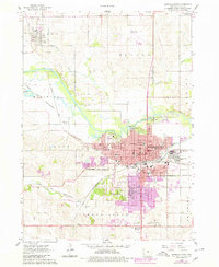
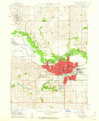
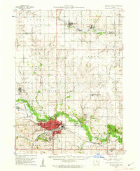
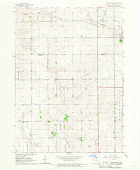
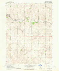
1960 Map of Marshalltown
USGS Topo · Published 1980About this map
The Iowa River carves a path through the heart of Marshall County, defining the early geography of Marshalltown and its outlying townships. This 1960 era landscape shows the community at a peak of institutional and industrial activity, anchored by the expansive grounds of the Iowa Soldiers Home and the County Fairgrounds. The town center is a dense network of local landmarks, including the Courthouse and a high concentration of neighborhood schools like Franklin Sch and Hansen Sch.
Find a feature on this map
48 named features on this map. Tap any name to fly to it.
Don’t see what you’re looking for? This feature index may not catch every label — zoom into the map to look around manually.
Map Details
Editions of this 1960 Marshalltown Map
2 editions found
Other maps of this area

1954 · Waterloo
USGS Topo · 1:250,000

1954 · Des Moines
USGS Topo · 1:250,000

1955 · Waterloo
USGS Topo · 1:250,000

1956 · Des Moines
USGS Topo · 1:250,000

1957 · Des Moines
USGS Topo · 1:250,000
1960 · Marshalltown
USGS Topo · 1:24,000
1960 · Marshalltown
USGS Topo · 1:62,500
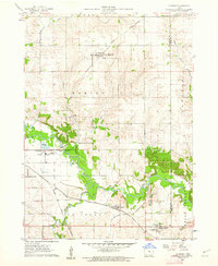
1960 · Le Grand
USGS Topo · 1:24,000
1960 · Conrad West
USGS Topo · 1:24,000
1960 · Conrad East
USGS Topo · 1:24,000
Featured Places
- Marshalltown, IA
- Albion, Iowa Township
- Vienna Township, IA
- Washington Township, IA
- Le Grand Township, IA