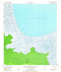
1951 Map of Martello Castle
USGS Topo · Published 1963About this map
Martello Castle stands as a lonely historical sentinel overlooking the expansive waters of Lake Borgne. This mid-century survey documents the intricate coastal hydrology where the boundary between St Bernard Parish and Orleans Parish follows the winding course of Bayou Bienvenue. The map details a complex network of waterways essential to local navigation and drainage, including the Lake Borgne Canal and the New Canal.
Find a feature on this map
17 named features on this map. Tap any name to fly to it.
Don’t see what you’re looking for? This feature index may not catch every label — zoom into the map to look around manually.
Map Details
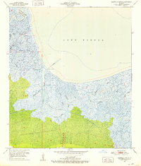
Editions of this 1951 Martello Castle Map
2 editions found
Other maps of this area

1892 · Chef Menteur
USGS Topo · 1:62,500

1892 · St. Bernard
USGS Topo · 1:62,500

1893 · Rigolets
USGS Topo · 1:62,500

1893 · Shell Beach
USGS Topo · 1:62,500

1935 · Delacroix
USGS Topo · 1:31,680

1936 · Chef Menteur
USGS Topo · 1:62,500

1936 · Rigolets
USGS Topo · 1:62,500

1937 · Chef Menteur
USGS Topo · 1:31,680

1938 · Little Woods
USGS Topo · 1:31,680

1939 · Shell Beach
USGS Topo · 1:62,500