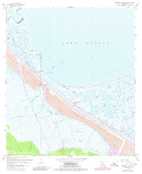
1967 Map of Martello Castle
USGS Topo · Published 1980About this map
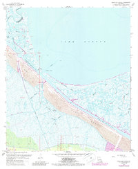
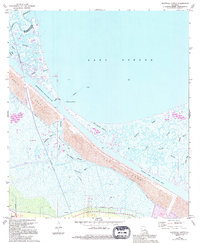
The Martello Castle landmark stands as a historical sentinel near the shoreline of Lake Borgne, anchoring this coastal segment of St. Bernard Parish. The mid-century landscape is defined by its complex hydrography, where the Mississippi River - Gulf Outlet Canal is shown under construction, cutting a deep linear path through the marshy terrain. This massive engineering project is accompanied by a significant Spoil Area and a newly installed Levee system, reflecting the intensive coastal modifications of the era.
Find a feature on this map
29 named features on this map. Tap any name to fly to it.
Don’t see what you’re looking for? This feature index may not catch every label — zoom into the map to look around manually.
Map Details
Editions of this 1967 Martello Castle Map
6 editions found
Other maps of this area

1892 · Chef Menteur
USGS Topo · 1:62,500

1892 · St. Bernard
USGS Topo · 1:62,500

1893 · Rigolets
USGS Topo · 1:62,500

1893 · Shell Beach
USGS Topo · 1:62,500

1935 · Delacroix
USGS Topo · 1:31,680

1936 · Chef Menteur
USGS Topo · 1:62,500

1936 · Rigolets
USGS Topo · 1:62,500

1937 · Chef Menteur
USGS Topo · 1:31,680

1938 · Little Woods
USGS Topo · 1:31,680

1939 · Shell Beach
USGS Topo · 1:62,500