Loading...
Loading map...2021 Map of Martin
USGS Topo · Published 2021About this map
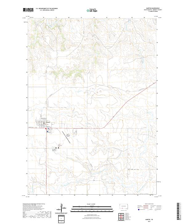
Martin serves as the focal point of this Bennett County landscape, situated where the high plains meet a network of descending creek valleys. As the county seat, the town is anchored by the Bennett County Courthouse and a grid of residential streets including Dorothy St and Stover St. The settlement pattern reflects a centralized community supported by the Martin Municipal Airport and surrounded by vast agricultural and ranching tracts.
Find a feature on this map
22 named features on this map. Tap any name to fly to it.
Don’t see what you’re looking for? This feature index may not catch every label — zoom into the map to look around manually.
Map Details
Date Portrayed2021
Date Published2021
PublisherU.S. Geological Survey
Map TypeTopographic
Scale1:24000
Physical Dimensions24 x 29 inches
Editions of this 2021 Martin Map
This is the sole edition of this map. No revisions or reprints were ever made.
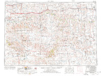
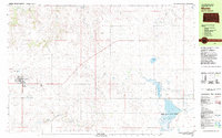
Historical Maps of Martin Through Time
5 maps found


Featured Locations
Source Details
SourceU.S. Geological Survey
CopyrightPublic Domain