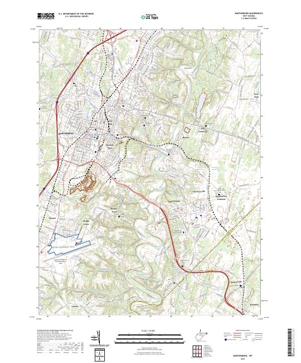
2023 Map of Martinsburg
USGS Topo · Published 2023About this map
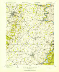
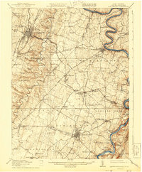
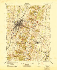
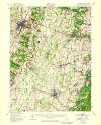
Martinsburg serves as the focal point of this Eastern Panhandle landscape, where the urban grid gives way to a complex network of suburban developments and rural crossroads. The area's deep roots are visible in the high density of historic burial grounds, including the Old Norbourne Cem, Green Hill Cem, and the Beth Jacob Cem. Beyond the city limits, the terrain is defined by the winding course of Opequon Creek and its many tributaries like Tuscarora Creek and Evans Run. Settlements such as Baker Heights, Van Clevesville, and Files Crossroad mark the transition toward the Jefferson County line, while Kearneysville anchor the southeastern corner. This survey documents the modern intersection of aviation history at the Eastern WV Regional Airport/Shepherd Field and preservation, noted by the presence of the Old Stone Bridge and the Eastern Panhandle Recreation Trl.
Find a feature on this map
94 named features on this map. Tap any name to fly to it.
Don’t see what you’re looking for? This feature index may not catch every label — zoom into the map to look around manually.
Map Details
Editions of this 2023 Martinsburg Map
This is the sole edition of this map. No revisions or reprints were ever made.
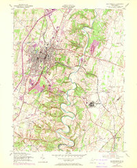
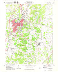
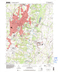
Historical Maps of Pikeside Through Time
8 maps found