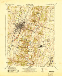
1944 Map of Martinsburg
USGS Topo · Published 1944About this map
Martinsburg serves as a bustling hub in the eastern panhandle during the mid-1940s, its urban grid tightly packed between the Baltimore and Ohio and Cumberland Valley railroads. The presence of the Newton D Baker General Hospital U S Army and the Martinsburg Airport underscores the strategic military and logistical importance of the area during the war years. To the east, the landscape transitions into the winding valley of Opequon Creek, where topography dictates a more rural pattern of limestone quarries and scattered family-named landmarks.
Find a feature on this map
46 named features on this map. Tap any name to fly to it.
Don’t see what you’re looking for? This feature index may not catch every label — zoom into the map to look around manually.
Map Details
Editions of this 1944 Martinsburg Map
This is the sole edition of this map. No revisions or reprints were ever made.
Other maps of this area

1884 · Harpers Ferry
USGS Topo · 1:125,000

1891 · Harpers Ferry
USGS Topo · 1:125,000

1893 · Harpers Ferry
USGS Topo · 1:125,000

1894 · Winchester
USGS Topo · 1:125,000

1899 · Hancock
USGS Topo · 1:62,500

1901 · Hancock
USGS Topo · 1:62,500

1912 · Williamsport
USGS Topo · 1:62,500

1914 · Martinsburg
USGS Topo · 1:48,000

1914 · Gerrardstown
USGS Topo · 1:48,000

1916 · Gerrardstown
USGS Topo · 1:62,500