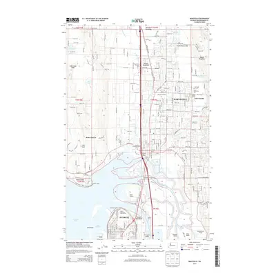
2014 Map of Marysville
USGS Topo · Published 2014About this map
The delta of the Snohomish River serves as the focal point for this landscape where the waters of Possession Sound and Port Gardner meet a complex network of sloughs and islands. The city of Marysville dominates the northeastern corner, characterized by a dense grid that transitions into agricultural landholdings such as Neff Farms and the Schons Family Dairy Farm. To the south, the industrial and educational centers of Everett are visible, including the Everett Community College campus and the rail hub at Delta Junction.
Find a feature on this map
63 named features on this map. Tap any name to fly to it.
Don’t see what you’re looking for? This feature index may not catch every label — zoom into the map to look around manually.
Map Details
Editions of this 2014 Marysville Map
This is the sole edition of this map. No revisions or reprints were ever made.
Other maps of this area

1895 · Snohomish
USGS Topo · 1:125,000

1897 · Seattle
USGS Topo · 1:125,000

1911 · Mount Vernon
USGS Topo · 1:125,000

1941 · Marysville
USGS Topo · 1:62,500

1942 · Edmonds
USGS Topo · 1:62,500

1943 · Marysville
USGS Topo · 1:62,500

1943 · Stanwood
USGS Topo · 1:62,500

1944 · Everett
USGS Topo · 1:62,500
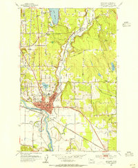
1953 · Snohomish
USGS Topo · 1:24,000
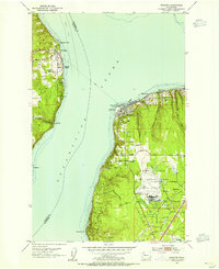
1953 · Mukilteo
USGS Topo · 1:24,000