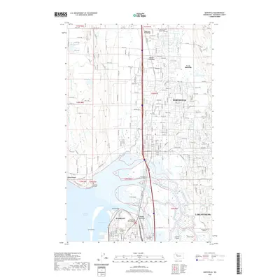
2020 Map of Marysville
USGS Topo · Published 2020About this map
Marysville and the northern reaches of Everett are defined by the complex aquatic landscape where the Snohomish River meets Possession Sound. This environment is characterized by a dense network of waterways, including Steamboat Slough, Union Slough, and Ebey Slough, which isolate a series of landmasses like Smith Island and Spencer Island. The transition from the urban grid of Everett to the expansive wetlands and sloughs highlights the area's importance as an estuarine hub.
Find a feature on this map
152 named features on this map. Tap any name to fly to it.
Don’t see what you’re looking for? This feature index may not catch every label — zoom into the map to look around manually.
Map Details
Editions of this 2020 Marysville Map
This is the sole edition of this map. No revisions or reprints were ever made.
Other maps of this area

1895 · Snohomish
USGS Topo · 1:125,000

1897 · Seattle
USGS Topo · 1:125,000

1911 · Mount Vernon
USGS Topo · 1:125,000

1941 · Marysville
USGS Topo · 1:62,500

1942 · Edmonds
USGS Topo · 1:62,500

1943 · Marysville
USGS Topo · 1:62,500

1943 · Stanwood
USGS Topo · 1:62,500

1944 · Everett
USGS Topo · 1:62,500
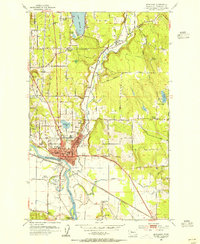
1953 · Snohomish
USGS Topo · 1:24,000
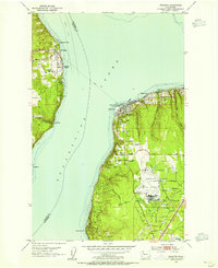
1953 · Mukilteo
USGS Topo · 1:24,000