Loading...
Loading map...2024 Map of Mascoutah
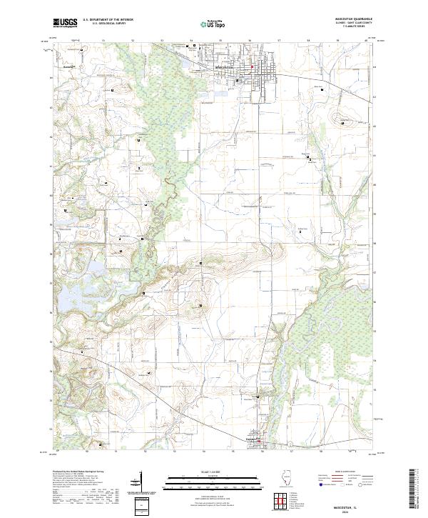
USGS Topo · Published 2024About this map
The Southern Ry corridor and the winding course of Silver Creek define the geography of this St. Clair County landscape. The city of Mascoutah stands as the primary hub, where an extensive street grid intersects with historical routes like Mascoutah Ave and Rentchler Rd. This modern survey reveals a dense concentration of lineage markers, including the Mascoutah City Cem and several family-named burial grounds like the Blum Cem and Schubkegel Cem.
Find a feature on this map
138 named features on this map. Tap any name to fly to it.
Don’t see what you’re looking for? This feature index may not catch every label — zoom into the map to look around manually.
Map Details
Date Portrayed2024
Date Published2024
PublisherU.S. Geological Survey
Map TypeTopographic
Scale1:24000
Physical Dimensions24 x 29 inches
Editions of this 2024 Mascoutah Map
This is the sole edition of this map. No revisions or reprints were ever made.
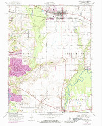
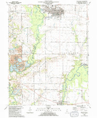
Historical Maps of Rentchler Through Time
3 maps found
Featured Locations
Source Details
SourceU.S. Geological Survey
CopyrightPublic Domain