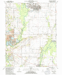
1990 Map of Mascoutah
USGS Topo · Published 1991About this map
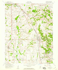
The town of Mascoutah serves as the focal point of this St. Clair County landscape, characterized by its grid of streets, Library, and City Hall positioned north of the Southern railroad line. The surrounding countryside is a study in Illinois farmstead history, densely populated with family-named burial grounds such as Knobeloch Cem, Fries Cem, and John Mueller Cem. To the west, the industrial legacy of the region is evident at the River King Mine No 1, which includes a Mine Dump and Heliport.
Find a feature on this map
70 named features on this map. Tap any name to fly to it.
Don’t see what you’re looking for? This feature index may not catch every label — zoom into the map to look around manually.
Map Details
Editions of this 1990 Mascoutah Map
This is the sole edition of this map. No revisions or reprints were ever made.
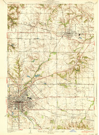
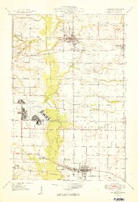
Other maps of this area

1906 · Breese
USGS Topo · 1:62,500

1907 · Breese
USGS Topo · 1:62,500

1907 · Belleville
USGS Topo · 1:62,500

1910 · Okawville
USGS Topo · 1:62,500

1912 · New Athens
USGS Topo · 1:62,500
1935 · Lebanon
USGS Topo · 1:24,000
1937 · O'Fallon
USGS Topo · 1:24,000

1940 · Okawville
USGS Topo · 1:62,500
1949 · Lebanon
USGS Topo · 1:24,000
1954 · Freeburg
USGS Topo · 1:24,000