
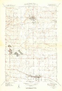
1949 Map of Lebanon
USGS Topo · Published 1949About this map
McKendree College and the city of Lebanon anchor the northern reaches of this mid-century landscape, which is defined by a dense network of country roads, cemeteries, and rural schoolhouses. The area reflects a well-established agrarian economy punctuated by heavy transit corridors, including the Baltimore and Ohio, Southern, and Louisville and Nashville railroads. To the southwest, the expansive grounds of Scott Field demonstrate the military's significant footprint in St. Clair County during the post-war era.
Find a feature on this map
45 named features on this map. Tap any name to fly to it.
Don’t see what you’re looking for? This feature index may not catch every label — zoom into the map to look around manually.
Map Details
Editions of this 1949 Lebanon Map
2 editions found
Other maps of this area

1906 · Breese
USGS Topo · 1:62,500

1907 · Breese
USGS Topo · 1:62,500

1907 · Belleville
USGS Topo · 1:62,500

1910 · Okawville
USGS Topo · 1:62,500

1912 · New Athens
USGS Topo · 1:62,500

1935 · Lebanon
USGS Topo · 1:24,000

1937 · Collinsville
USGS Topo · 1:24,000

1937 · O'Fallon
USGS Topo · 1:24,000

1940 · Okawville
USGS Topo · 1:62,500

1949 · St. Jacob
USGS Topo · 1:24,000