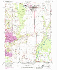
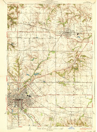
1954 Map of Mascoutah
USGS Topo · Published 1988About this map
The town of Mascoutah serves as the focal point of this mid-century landscape, situated along the Louisville and Nashville railroad line. The map reveals a transition from the agricultural plains of Shiloh Valley to the more varied terrain of Pleasant Ridge and Englemann. Local family history is deeply embedded in the land, evidenced by numerous small burial grounds such as Knobeloch Cem, Fries Cem, and Schneblin Cem scattered among the farms.
Find a feature on this map
46 named features on this map. Tap any name to fly to it.
Don’t see what you’re looking for? This feature index may not catch every label — zoom into the map to look around manually.
Map Details
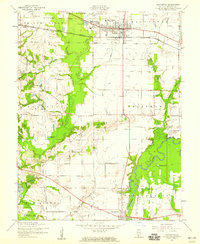
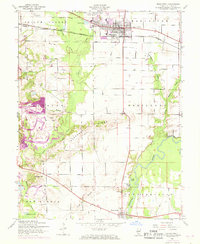
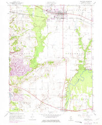
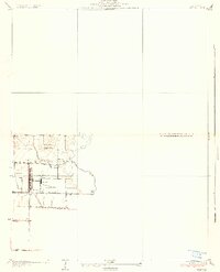
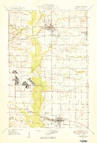
Editions of this 1954 Mascoutah Map
4 editions found
Other maps of this area

1906 · Breese
USGS Topo · 1:62,500

1907 · Breese
USGS Topo · 1:62,500

1907 · Belleville
USGS Topo · 1:62,500

1910 · Okawville
USGS Topo · 1:62,500

1912 · New Athens
USGS Topo · 1:62,500
1935 · Lebanon
USGS Topo · 1:24,000
1937 · O'Fallon
USGS Topo · 1:24,000

1940 · Okawville
USGS Topo · 1:62,500
1949 · Lebanon
USGS Topo · 1:24,000
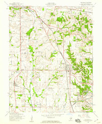
1954 · Freeburg
USGS Topo · 1:24,000