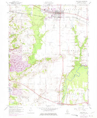
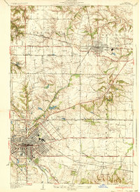
1954 Map of Mascoutah
USGS Topo · Published 1975About this map
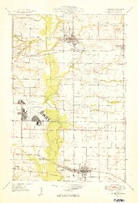
Mascoutah stands as a significant rail and agricultural hub in central St. Clair County, anchored by the Louisville and Nashville railroad corridor. The landscape is defined by the winding course of Silver Creek and the Kaskaskia River, with the latter featuring prominent oxbows and backwaters like Long Lake and Round Lake. Evidence of the region's industrial activity is visible in the southwestern corner, where a substantial Strip Mine and associated Tailings Ponds dominate the terrain near New Athens.
Find a feature on this map
39 named features on this map. Tap any name to fly to it.
Don’t see what you’re looking for? This feature index may not catch every label — zoom into the map to look around manually.
Map Details
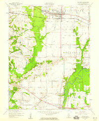
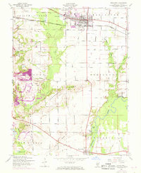
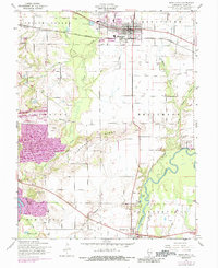
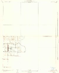
Editions of this 1954 Mascoutah Map
4 editions found
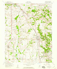
Other maps of this area

1906 · Breese
USGS Topo · 1:62,500

1907 · Breese
USGS Topo · 1:62,500

1907 · Belleville
USGS Topo · 1:62,500

1910 · Okawville
USGS Topo · 1:62,500

1912 · New Athens
USGS Topo · 1:62,500
1935 · Lebanon
USGS Topo · 1:24,000
1937 · O'Fallon
USGS Topo · 1:24,000

1940 · Okawville
USGS Topo · 1:62,500
1949 · Lebanon
USGS Topo · 1:24,000
1954 · Freeburg
USGS Topo · 1:24,000