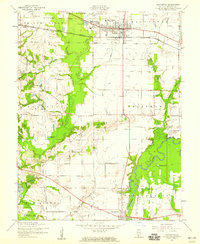
1954 Map of Mascoutah
USGS Topo · Published 1959About this map
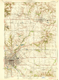
The Louisville and Nashville railroad cuts a straight path through the heart of Mascoutah in this mid-century survey, anchoring a landscape of small agricultural settlements and rural schoolhouses. Family legacies are etched into the terrain through numerous small burial grounds, including Fries Cem, Blum Cem, and Schneblin Cem, alongside the Espenschied Chapel. To the south, the winding course of the Kaskaskia River and its associated backwaters, like Long Lake and Bottom Lake, create a complex riparian border near the village of Fayetteville. The presence of scattered rural schools such as Funk Sch and Batdorf Sch indicates a decentralized educational pattern still in place before the era of widespread district consolidation. Between the river and the rail line, landmarks like Haubers Hill and Pleasant Ridge provide subtle elevation in the otherwise level Illinois prairie.
Find a feature on this map
45 named features on this map. Tap any name to fly to it.
Don’t see what you’re looking for? This feature index may not catch every label — zoom into the map to look around manually.
Map Details
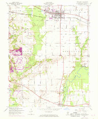
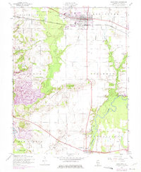
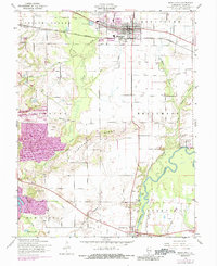
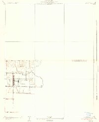
Editions of this 1954 Mascoutah Map
4 editions found
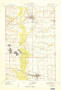
Other maps of this area

1906 · Breese
USGS Topo · 1:62,500

1907 · Breese
USGS Topo · 1:62,500

1907 · Belleville
USGS Topo · 1:62,500

1910 · Okawville
USGS Topo · 1:62,500

1912 · New Athens
USGS Topo · 1:62,500
1935 · Lebanon
USGS Topo · 1:24,000
1937 · O'Fallon
USGS Topo · 1:24,000

1940 · Okawville
USGS Topo · 1:62,500
1949 · Lebanon
USGS Topo · 1:24,000
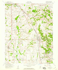
1954 · Freeburg
USGS Topo · 1:24,000