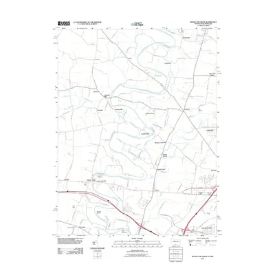
2011 Map of Mason and Dixon
USGS Topo · Published 2011About this map
Conococheague Creek winds through this landscape on the Maryland-Pennsylvania border, defining the settlement patterns of Washington County. The waterway, historically significant for early industrial siting, passes through a cluster of namesake locations such as Conococheague, Fairview Mill, and Gristmill Hill. These labels point toward the agrarian and milling heritage of the region, while modern landmarks like the Hagerstown Raceway and Wilson Quarry reflect the evolving 21st-century economy.
Find a feature on this map
114 named features on this map. Tap any name to fly to it.
Don’t see what you’re looking for? This feature index may not catch every label — zoom into the map to look around manually.
Map Details
Editions of this 2011 Mason and Dixon Map
This is the sole edition of this map. No revisions or reprints were ever made.
Other maps of this area

1900 · Mercersburg
USGS Topo · 1:62,500

1902 · Chambersburg
USGS Topo · 1:62,500

1902 · Mercersburg
USGS Topo · 1:62,500

1909 · Hagerstown
USGS Topo · 1:48,000

1912 · Hagerstown
USGS Topo · 1:62,500

1912 · Williamsport
USGS Topo · 1:62,500

1942 · Hagerstown
USGS Topo · 1:125,000

1943 · Hagerstown
USGS Topo · 1:125,000

1943 · Mercersburg
USGS Topo · 1:24,000

1943 · Chambersburg
USGS Topo · 1:62,500