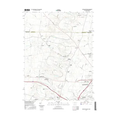
2016 Map of Mason and Dixon
USGS Topo · Published 2016About this map
Conococheague Creek carves a winding path through the limestone valley of Washington County, anchoring a landscape where colonial-era boundaries and modern transportation corridors meet. The historic Pennsylvania-Maryland border, famous as the Mason-Dixon line, bisects the northern reaches near Worleytown and the village of Mason and Dixon. This 2016 survey illustrates the persistent agricultural character of the region, evidenced by historic industrial sites like Fairview Mill and Kemps Mill alongside numerous family and church burial grounds including Mount Tabor Graveyard and Salem Graveyard.
Find a feature on this map
127 named features on this map. Tap any name to fly to it.
Don’t see what you’re looking for? This feature index may not catch every label — zoom into the map to look around manually.
Map Details
Editions of this 2016 Mason and Dixon Map
This is the sole edition of this map. No revisions or reprints were ever made.
Other maps of this area

1900 · Mercersburg
USGS Topo · 1:62,500

1902 · Chambersburg
USGS Topo · 1:62,500

1902 · Mercersburg
USGS Topo · 1:62,500

1909 · Hagerstown
USGS Topo · 1:48,000

1912 · Hagerstown
USGS Topo · 1:62,500

1912 · Williamsport
USGS Topo · 1:62,500

1942 · Hagerstown
USGS Topo · 1:125,000

1943 · Hagerstown
USGS Topo · 1:125,000

1943 · Mercersburg
USGS Topo · 1:24,000

1943 · Chambersburg
USGS Topo · 1:62,500