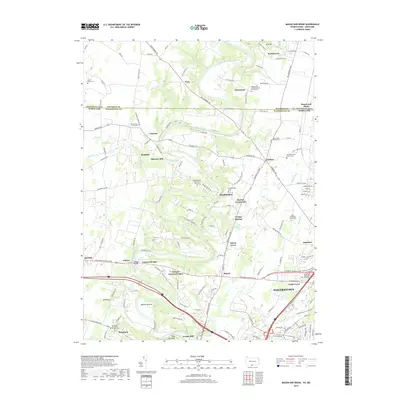
2019 Map of Mason and Dixon
USGS Topo · Published 2019About this map
Conococheague Creek snakes through this borderland landscape, defining the topography of the region north of Hagerstown. The map reveals a dense network of local history, where the Mason and Dixon line separates Pennsylvania and Maryland, cutting through settlements like Worleytown and Nova. The rural character of the area is anchored by its numerous religious and memorial sites, including the Mount Tabor Graveyard and Reiff Mennonite Church Cem, reflecting the deep-seated community heritage of Washington and Franklin Counties.
Find a feature on this map
148 named features on this map. Tap any name to fly to it.
Don’t see what you’re looking for? This feature index may not catch every label — zoom into the map to look around manually.
Map Details
Editions of this 2019 Mason and Dixon Map
This is the sole edition of this map. No revisions or reprints were ever made.
Other maps of this area

1900 · Mercersburg
USGS Topo · 1:62,500

1902 · Chambersburg
USGS Topo · 1:62,500

1902 · Mercersburg
USGS Topo · 1:62,500

1909 · Hagerstown
USGS Topo · 1:48,000

1912 · Hagerstown
USGS Topo · 1:62,500

1912 · Williamsport
USGS Topo · 1:62,500

1942 · Hagerstown
USGS Topo · 1:125,000

1943 · Hagerstown
USGS Topo · 1:125,000

1943 · Mercersburg
USGS Topo · 1:24,000

1943 · Chambersburg
USGS Topo · 1:62,500