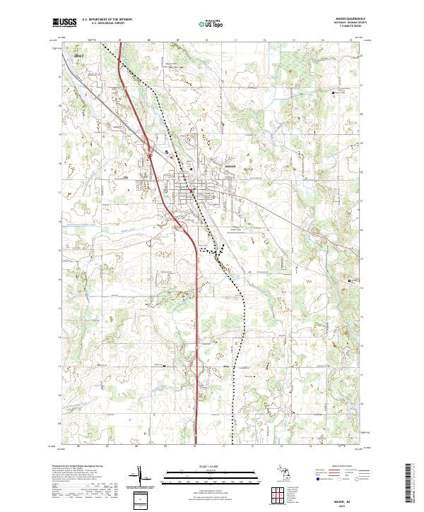
2023 Map of Mason
USGS Topo · Published 2023About this map
Mason and its surrounding Ingham County agricultural landscape are defined by a complex network of drainage infrastructure and small rural settlements. The central city of Mason serves as a hub where Sycamore Creek flows near the historic downtown grid, which includes landmarks like Maple Grove Cem and Jewett Field. To the south, the settlement of Eden anchors a district marked by traditional family burials at Eden Cem and a land pattern bisected by Talmadge Drain. To the northwest, the edge of Holt appears, showing the encroaching residential expansion from the Lansing area. The landscape is heavily modified for agriculture, evidenced by numerous named waterways such as Hazelton Drain and North Branch Willow Creek, which have historically managed the region's high water table to support productive farming.
Find a feature on this map
98 named features on this map. Tap any name to fly to it.
Don’t see what you’re looking for? This feature index may not catch every label — zoom into the map to look around manually.
Map Details
Editions of this 2023 Mason Map
This is the sole edition of this map. No revisions or reprints were ever made.
Other maps of this area

1909 · Mason
USGS Topo · 1:62,500

1910 · Lansing
USGS Topo · 1:62,500

1911 · Mason
USGS Topo · 1:62,500

1912 · Lansing
USGS Topo · 1:62,500

1919 · Springport
USGS Topo · 1:62,500

1919 · Rives Junction
USGS Topo · 1:62,500

1921 · Rives Junction
USGS Topo · 1:62,500

1921 · Springport
USGS Topo · 1:62,500

1958 · Grand Rapids
USGS Topo · 1:250,000

1961 · Grand Rapids
USGS Topo · 1:250,000