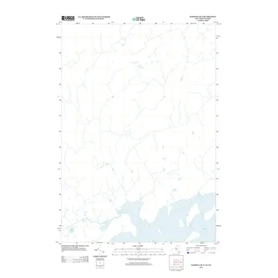
2013 Map of Massena OE N
USGS Topo · Published 2013About this map
Lake St. Lawrence dominates the southern reaches of this landscape, representing a significant engineered waterway along the international border. The surrounding terrain in this 2013 survey is defined by a dense grid of rural roads and drainage networks that characterize the agricultural and residential development of the region. While the interior is marked by intermittent woodland and small watercourses, the primary geographic focus remains the expansive shoreline and the various inlets and bays that shape the northern edge of the lake. This map captures the modern distribution of property and infrastructure in a borderland area defined by its relationship to the St. Lawrence River system.
Find a feature on this map
1 named feature on this map. Tap any name to fly to it.
Don’t see what you’re looking for? This feature index may not catch every label — zoom into the map to look around manually.
Map Details
Editions of this 2013 Massena OE N Map
This is the sole edition of this map. No revisions or reprints were ever made.
Other maps of this area

1905 · Waddington
USGS Topo · 1:62,500

1906 · Massena
USGS Topo · 1:62,500

1907 · Massena
USGS Topo · 1:62,500

1942 · Barnhart Island
USGS Topo · 1:24,000

1942 · Massena
USGS Topo · 1:24,000

1943 · Barnhart Island
USGS Topo · 1:31,680
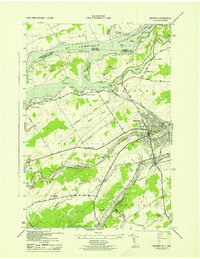
1943 · Massena
USGS Topo · 1:31,680
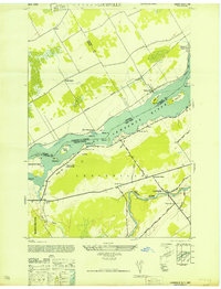
1946 · Louisville
USGS Topo · 1:24,000
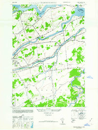
1946 · Raquette River
USGS Topo · 1:24,000

1948 · Ogdensburg
USGS Topo · 1:250,000