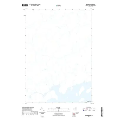
2019 Map of Massena OE N
USGS Topo · Published 2019About this map
The international border with Canada defines the southern extent of this 2019 survey, covering a predominantly rural landscape north of the St. Lawrence River. While the map is sparse in terms of specific place labels, it provides a precise look at the hydrography and secondary road networks in South Stormont. The drainage patterns and waterway alignments are the primary features here, illustrating the transition from the river's edge into the agricultural hinterland of Ontario. This edition is particularly useful for researchers studying the modern layout of the concessions and township roads that have shaped the rural character of this border region.
Find a feature on this map
1 named feature on this map. Tap any name to fly to it.
Don’t see what you’re looking for? This feature index may not catch every label — zoom into the map to look around manually.
Map Details
Editions of this 2019 Massena OE N Map
This is the sole edition of this map. No revisions or reprints were ever made.
Other maps of this area

1905 · Waddington
USGS Topo · 1:62,500

1906 · Massena
USGS Topo · 1:62,500

1907 · Massena
USGS Topo · 1:62,500

1942 · Barnhart Island
USGS Topo · 1:24,000

1942 · Massena
USGS Topo · 1:24,000

1943 · Barnhart Island
USGS Topo · 1:31,680
1943 · Massena
USGS Topo · 1:31,680
1946 · Louisville
USGS Topo · 1:24,000
1946 · Raquette River
USGS Topo · 1:24,000

1948 · Ogdensburg
USGS Topo · 1:250,000