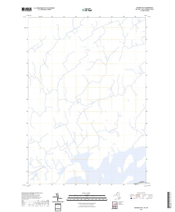
2023 Map of Massena OE N
USGS Topo · Published 2023About this map
The international border with Canada defines the southern portion of this modern topographic study along the Saint Lawrence River. While the map is remarkably sparse in its nomenclature, the intricate web of secondary roads and local connectors reveals a landscape carved into long, narrow agricultural strips typical of the region's historical land division. These road patterns trace the development of rural Saint Lawrence County, where small water bodies and seasonal wetlands are dispersed across the terrain. The U.S. Geological Survey has documented this borderland as it appeared in the early 2020s, providing a clear view of the modern transit corridors and drainage patterns that characterize the northern New York countryside just across the line from Canadian territory.
Find a feature on this map
1 named feature on this map. Tap any name to fly to it.
Don’t see what you’re looking for? This feature index may not catch every label — zoom into the map to look around manually.
Map Details
Editions of this 2023 Massena OE N Map
This is the sole edition of this map. No revisions or reprints were ever made.
Other maps of this area

1905 · Waddington
USGS Topo · 1:62,500

1906 · Massena
USGS Topo · 1:62,500

1907 · Massena
USGS Topo · 1:62,500

1942 · Barnhart Island
USGS Topo · 1:24,000

1942 · Massena
USGS Topo · 1:24,000

1943 · Barnhart Island
USGS Topo · 1:31,680
1943 · Massena
USGS Topo · 1:31,680
1946 · Louisville
USGS Topo · 1:24,000
1946 · Raquette River
USGS Topo · 1:24,000

1948 · Ogdensburg
USGS Topo · 1:250,000