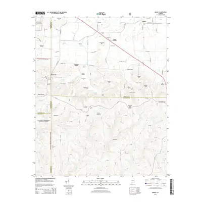
2014 Map of Massey
USGS Topo · Published 2014About this map
The Tennessee Valley Divide cuts through this landscape where the borders of Lawrence, Morgan, Cullman, and Winston counties converge. Small settlements like Corinth, Clifty, and Piney Grove anchor a terrain defined by deep hollows and high ridges, including Brindley Mountain and Friendship Mtn. Much of the western edge is protected within the William B. Bankhead National Forest, preserving the wooded character of the headwaters for creeks such as Crowdabout Creek and Rock Creek.
Find a feature on this map
125 named features on this map. Tap any name to fly to it.
Don’t see what you’re looking for? This feature index may not catch every label — zoom into the map to look around manually.
Map Details
Editions of this 2014 Massey Map
This is the sole edition of this map. No revisions or reprints were ever made.
Other maps of this area

1888 · Cullman
USGS Topo · 1:125,000

1892 · Cullman
USGS Topo · 1:125,000

1927 · Falkville
USGS Topo · 1:24,000

1935 · Upshaw
USGS Topo · 1:24,000

1935 · Danville
USGS Topo · 1:48,000

1935 · Oakville
USGS Topo · 1:24,000

1936 · Mc Kendry
USGS Topo · 1:24,000

1936 · Hartselle
USGS Topo · 1:24,000

1936 · Stroups Crossroads
USGS Topo · 1:24,000

1938 · Danville
USGS Topo · 1:62,500