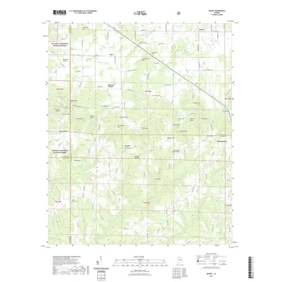
2021 Map of Massey
USGS Topo · Published 2021About this map
Brindley Mountain dominates the central landscape of this North Alabama survey, marking the rugged divide between the drainage systems of the Tennessee and Warrior River basins. The Tennessee Valley Divide snakes across the terrain, where numerous hollows and coves like Riley Cove and Double Hollow define the rural character. Small agricultural and timber settlements including Massey, Corinth, and Battleground are scattered throughout, often centered around local landmarks like the Andrews Chapel or historic family burial grounds such as Penn Cem and Macedonia Cem. The western edge is bordered by the William B. Bankhead National Forest, reflecting the area's transition into protected woodlands. Notable hydrological features include Crowdabout Creek and Jones Creek, which cut through the ridges and provide the primary drainage for the surrounding gaps and valleys.
Find a feature on this map
113 named features on this map. Tap any name to fly to it.
Don’t see what you’re looking for? This feature index may not catch every label — zoom into the map to look around manually.
Map Details
Editions of this 2021 Massey Map
This is the sole edition of this map. No revisions or reprints were ever made.
Other maps of this area

1888 · Cullman
USGS Topo · 1:125,000

1892 · Cullman
USGS Topo · 1:125,000

1927 · Falkville
USGS Topo · 1:24,000

1935 · Upshaw
USGS Topo · 1:24,000

1935 · Danville
USGS Topo · 1:48,000

1935 · Oakville
USGS Topo · 1:24,000

1936 · Mc Kendry
USGS Topo · 1:24,000

1936 · Hartselle
USGS Topo · 1:24,000

1936 · Stroups Crossroads
USGS Topo · 1:24,000

1938 · Danville
USGS Topo · 1:62,500