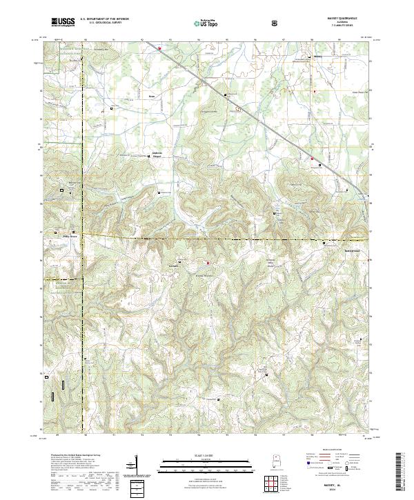
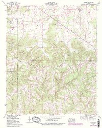
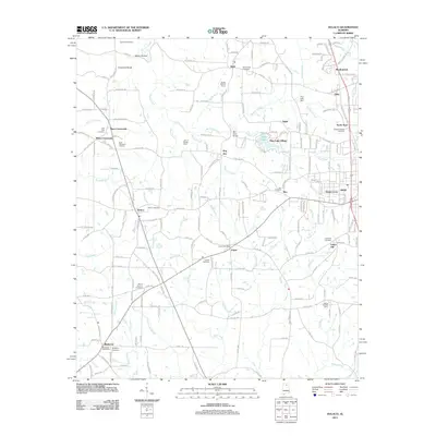
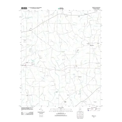
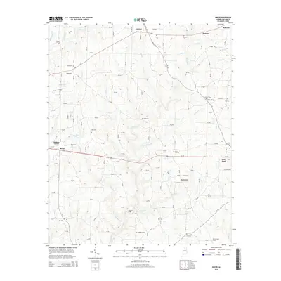
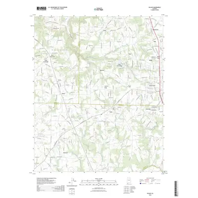
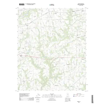
2024 Map of Massey
USGS Topo · Published 2024About this map
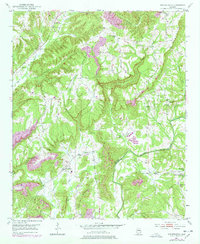
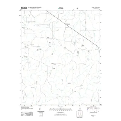
William B. Bankhead National Forest covers the western reaches of this area, where the terrain breaks into complex drainages like Capsey Creek and Little Rock Creek. This landscape is defined by the Tennessee Valley Divide, a significant geographical boundary that separates the northern flow of Wolf Branch and Crowabout Creek from the southern waters of Blevens Creek and Bee Branch. The human history of the region is etched into the landscape through small settlements such as Battleground, Corinth, and Massey, which are often centered around local congregations and burial grounds. Genealogists will find a high concentration of established cemeteries, including McKendree United Methodist Church Cem, Dripping Springs Cem, and Evergreen Cem, many of which sit on high ground like Stanton Hill or near the gaps of Brindley Mountain. The survey also documents the intersection of Lawrence, Morgan, Cullman, and Winston counties amidst prominent peaks like Bugaboo Mountain and Friendship Mtn.
Find a feature on this map
125 named features on this map. Tap any name to fly to it.
Don’t see what you’re looking for? This feature index may not catch every label — zoom into the map to look around manually.
Map Details
Editions of this 2024 Massey Map
This is the sole edition of this map. No revisions or reprints were ever made.
Historical Maps of Andrews Chapel Through Time
62 maps found

1936 Hulaco
Cullman County, AL
1936 Mc Kendry
Cullman County, AL
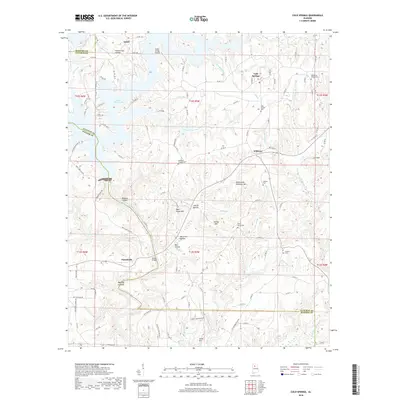
1949 Cold Springs
Cullman County, AL
1949 Hulaco
Cullman County, AL
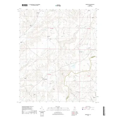
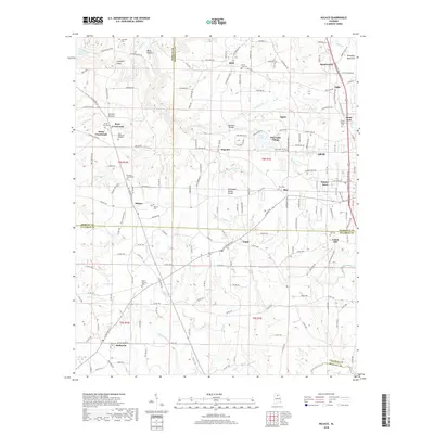
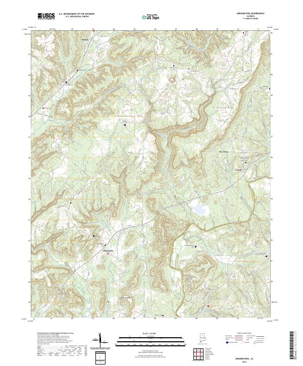
1951 Arkadelphia
Cullman County, AL
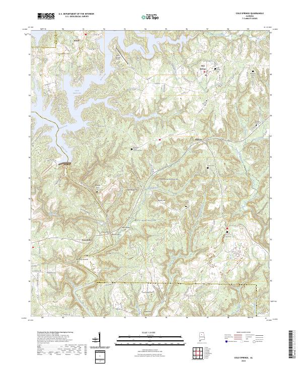
1951 Cold Springs
Cullman County, AL
1952 Hulaco
Cullman County, AL
1958 Simcoe
Cullman County, AL
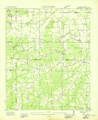
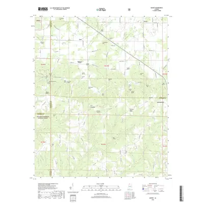
1960 Massey
Cullman County, AL
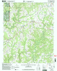
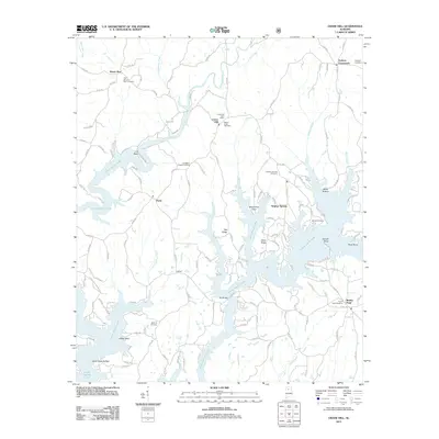
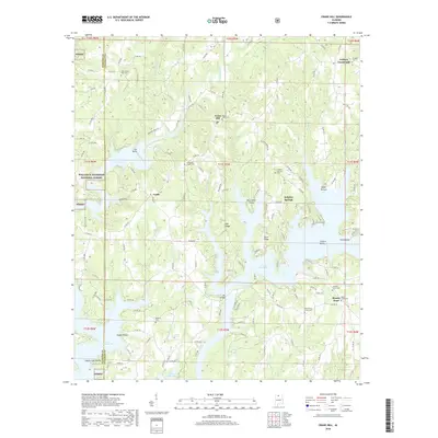
1969 Crane Hill
Cullman County, AL
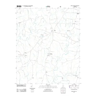
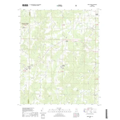
1969 Jones Chapel
Cullman County, AL
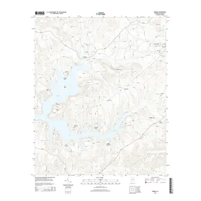
1969 Trimble
Cullman County, AL
1975 Arkadelphia
Cullman County, AL
1975 Hulaco
Cullman County, AL
1976 Hulaco
Cullman County, AL
2000 Crane Hill
Cullman County, AL
2000 Jones Chapel
Cullman County, AL
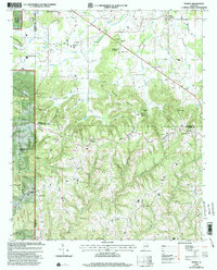
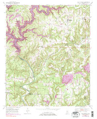
2000 Massey
Cullman County, AL
2011 Arkadelphia
Cullman County, AL
2011 Cold Springs
Cullman County, AL
2011 Crane Hill
Cullman County, AL
2011 Hulaco
Cullman County, AL
2011 Jones Chapel
Cullman County, AL
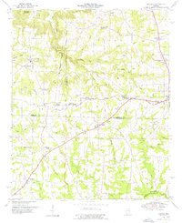
2011 Massey
Cullman County, AL
2011 Simcoe
Cullman County, AL
2011 Trimble
Cullman County, AL
2014 Arkadelphia
Cullman County, AL
2014 Cold Springs
Cullman County, AL
2014 Crane Hill
Cullman County, AL
2014 Hulaco
Cullman County, AL
2014 Jones Chapel
Cullman County, AL
2014 Massey
Cullman County, AL
2014 Simcoe
Cullman County, AL
2014 Trimble
Cullman County, AL
2018 Arkadelphia
Cullman County, AL
2018 Cold Springs
Cullman County, AL
2018 Crane Hill
Cullman County, AL
2018 Hulaco
Cullman County, AL
2018 Jones Chapel
Cullman County, AL
2018 Massey
Cullman County, AL
2018 Simcoe
Cullman County, AL
2018 Trimble
Cullman County, AL
2020 Arkadelphia
Cullman County, AL
2020 Cold Springs
Cullman County, AL
2020 Hulaco
Cullman County, AL
2020 Simcoe
Cullman County, AL
2020 Trimble
Cullman County, AL
2021 Crane Hill
Cullman County, AL
2021 Jones Chapel
Cullman County, AL
2021 Massey
Cullman County, AL
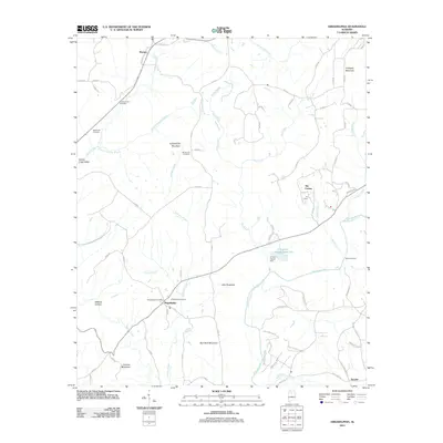
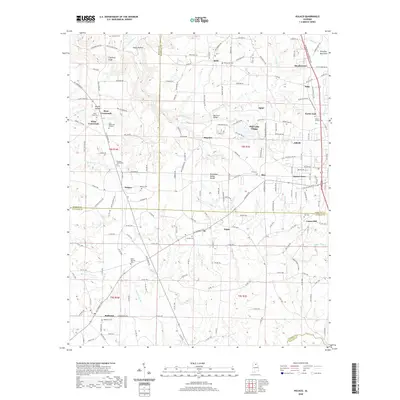
2024 Arkadelphia
Cullman County, AL
2024 Cold Springs
Cullman County, AL
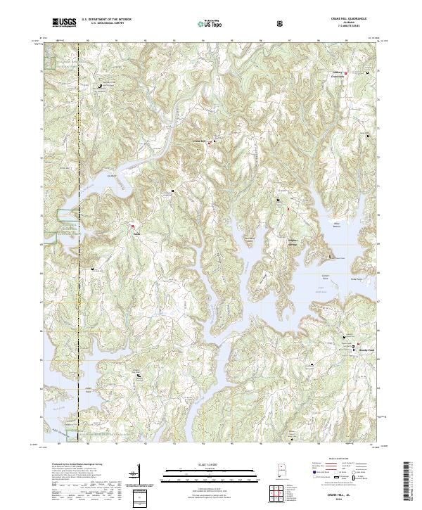
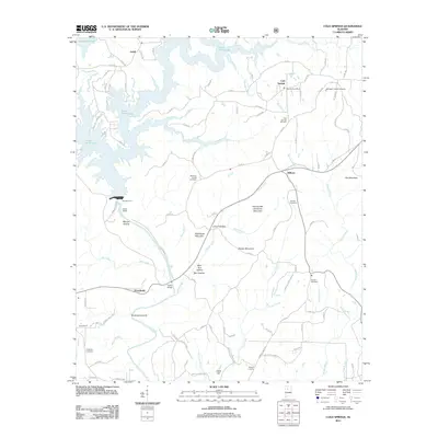
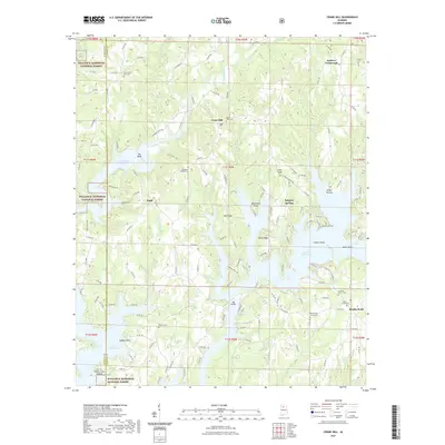
2024 Crane Hill
Cullman County, AL
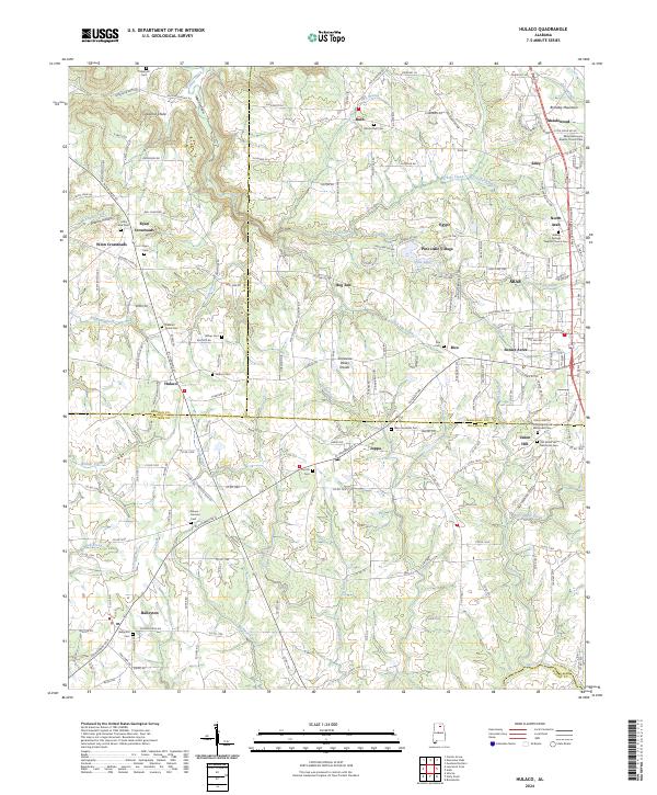
2024 Hulaco
Cullman County, AL
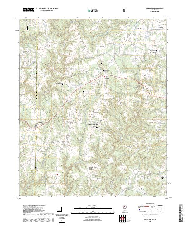
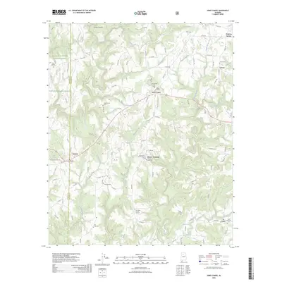
2024 Jones Chapel
Cullman County, AL
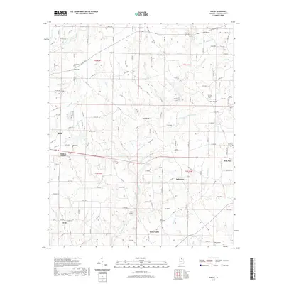
2024 Massey
Cullman County, AL
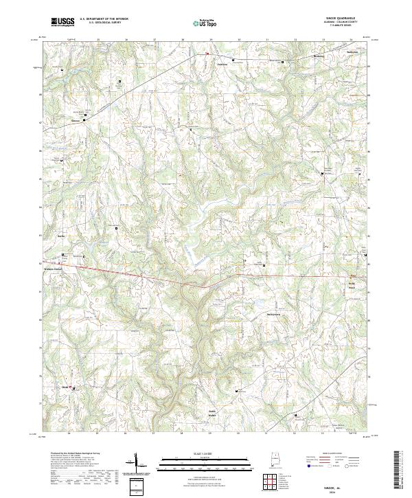
2024 Simcoe
Cullman County, AL
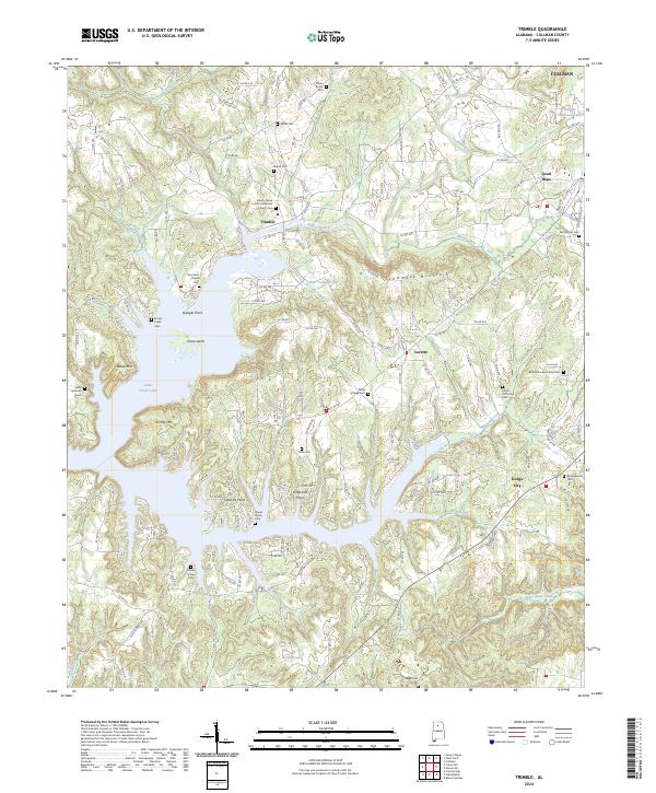
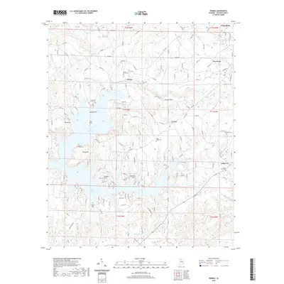
2024 Trimble
Cullman County, AL
2026 Hulaco
Cullman County, AL
2026 Jones Chapel
Cullman County, AL
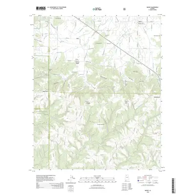
2026 Massey
Cullman County, AL
2026 Simcoe
Cullman County, AL