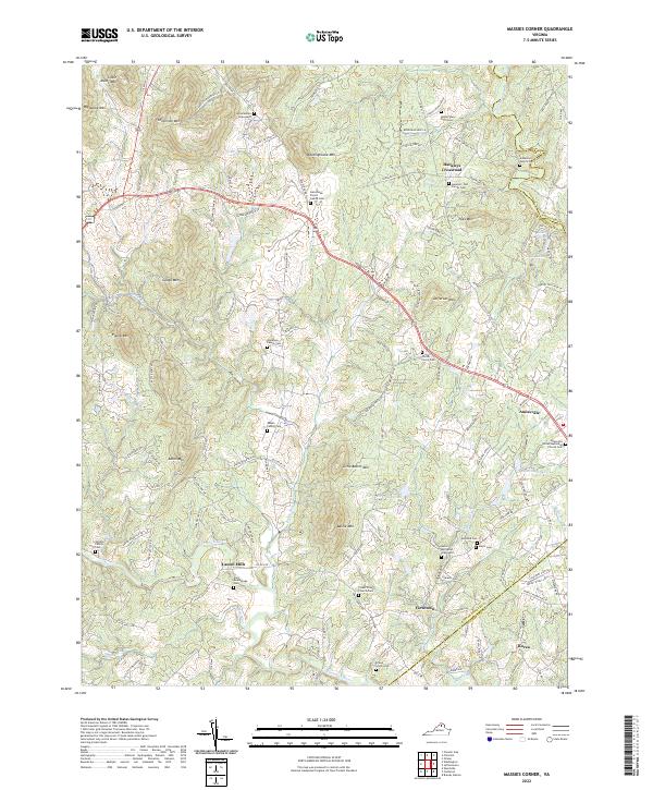
2022 Map of Massies Corner
USGS Topo · Published 2022About this map
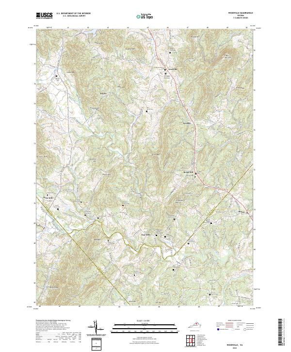
The Thornton River and Rappahannock River define the lower reaches of this Virginia piedmont landscape, where small crossroads like Amissville and Laurel Mills serve as local anchors. The map reveals a dense network of family-held history, with numerous private burial grounds such as the Anderson Family Cem and the Massie Family Cem scattered among the foothills. The terrain is dominated by distinct peaks including Battle Mtn, Meetinghouse Mtn, and Jefferson Mtn, which frame the agricultural valleys.
Find a feature on this map
115 named features on this map. Tap any name to fly to it.
Don’t see what you’re looking for? This feature index may not catch every label — zoom into the map to look around manually.
Map Details
Editions of this 2022 Massies Corner Map
This is the sole edition of this map. No revisions or reprints were ever made.
Historical Maps of Massies Corner Through Time
9 maps found
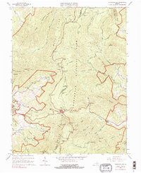
1965 Thornton Gap
Rappahannock County, VA
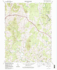
1971 Massies Corner
Rappahannock County, VA
1971 Woodville
Rappahannock County, VA
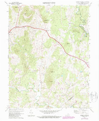
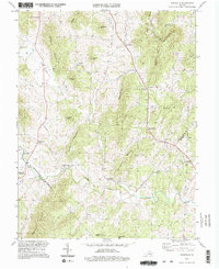
1994 Massies Corner
Rappahannock County, VA
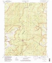
1994 Thornton Gap
Rappahannock County, VA
1994 Woodville
Rappahannock County, VA
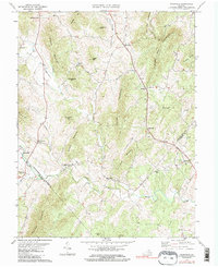
2022 Massies Corner
Rappahannock County, VA
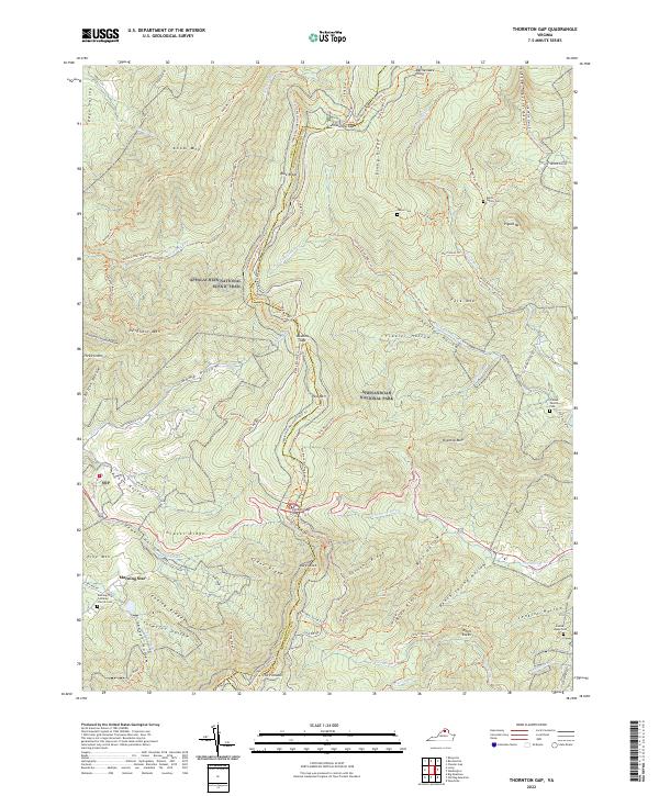
2022 Thornton Gap
Rappahannock County, VA
2022 Woodville
Rappahannock County, VA