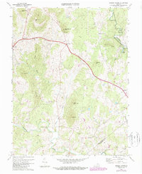
1971 Map of Massies Corner
USGS Topo · Published 1987About this map
The Rappahannock River defines the eastern boundary of this Piedmont landscape, where the foothills of the Blue Ridge meet the rolling farmland of Rappahannock and Culpeper counties. Centered on the crossroads of Massies Corner, the area is characterized by a series of prominent peaks such as Hickerson Mtn, Meetinghouse Mtn, and the central Battle Mtn. The settlement pattern follows the drainages and ridges, with established communities like Amissville and Laurel Mills serving as local hubs.
Find a feature on this map
36 named features on this map. Tap any name to fly to it.
Don’t see what you’re looking for? This feature index may not catch every label — zoom into the map to look around manually.
Map Details
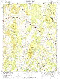
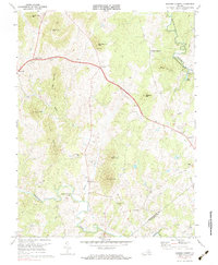
Editions of this 1971 Massies Corner Map
3 editions found
Other maps of this area

1893 · Luray
USGS Topo · 1:125,000

1894 · Warrenton
USGS Topo · 1:125,000

1894 · Warrenton
USGS Topo · 1:62,500

1905 · Luray
USGS Topo · 1:125,000

1927 · Remington
USGS Topo · 1:48,000

1930 · Warrenton
USGS Topo · 1:62,500

1939 · Front Royal
USGS Topo · 1:48,000

1943 · Orlean
USGS Topo · 1:24,000
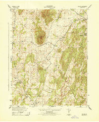
1944 · Orlean
USGS Topo · 1:31,680

1944 · Front Royal
USGS Topo · 1:62,500