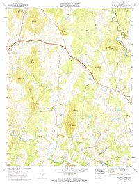
1971 Map of Massies Corner
USGS Topo · Published 1972About this map
Massies Corner and the surrounding rural landscape of the Piedmont are defined by the winding course of the Rappahannock River and its major tributary, the Thornton River. This 1971 record shows a region of scattered crossroads and small communities such as Amissville, Viewtown, and Laurel Mills. The terrain is marked by prominent peaks like Battle Mountain and Jefferson Mountain, with the lowlands largely partitioned into fields and orchards, many delineated by the fine red dashed lines indicating historical fence and field boundaries visible from aerial photography. Local social and economic life is anchored by country churches, including Battle Run Ch and Forest Grove Ch, and a Drive-in Theater situated near the intersection of two primary routes. This survey provides a clear view of the water-powered legacy at Laurel Mills and the ford crossing the Rappahannock into Fauquier County.
Find a feature on this map
35 named features on this map. Tap any name to fly to it.
Don’t see what you’re looking for? This feature index may not catch every label — zoom into the map to look around manually.
Map Details
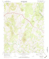
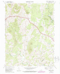
Editions of this 1971 Massies Corner Map
3 editions found
Other maps of this area

1893 · Luray
USGS Topo · 1:125,000

1894 · Warrenton
USGS Topo · 1:125,000

1894 · Warrenton
USGS Topo · 1:62,500

1905 · Luray
USGS Topo · 1:125,000

1927 · Remington
USGS Topo · 1:48,000

1930 · Warrenton
USGS Topo · 1:62,500

1939 · Front Royal
USGS Topo · 1:48,000

1943 · Orlean
USGS Topo · 1:24,000
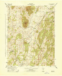
1944 · Orlean
USGS Topo · 1:31,680

1944 · Front Royal
USGS Topo · 1:62,500